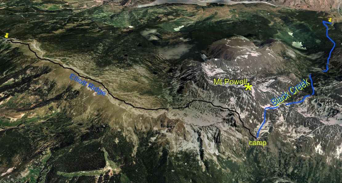
Black Creek is the most remote drainage in the Gore Range. Bill decided to travel its length from top to bottom. To get there, he started on Elliott Ridge, above Cataract Creek. He dropped off the ridge into the headwaters of Cataract Creek, then climbed up to the pass (12000 feet) separating Cataract from Piney Creek. He dropped to 11000 feet in the Piney drainage, and camped overnight. The next day, he climbed to an adjacent pass ('Kneeknocker', 12500 feet) and looked down on Black Creek from its headwall. The rest of the day saw him negotiating his way down and out of Black Creek, with challenges including steep snow fields (to test his new crampons), difficult bushwhacking (deadfalls, steep cliffs, misleading game trails), and crossing the raging south fork of Black Creek. He made it to the truck that he had parked on Brush Creek at 8:30 pm. It had been a long day hike.
1. Sunrise view of Keller Mountain as we left the ranch on Pebble Creek for the drive to Elliott RIdge 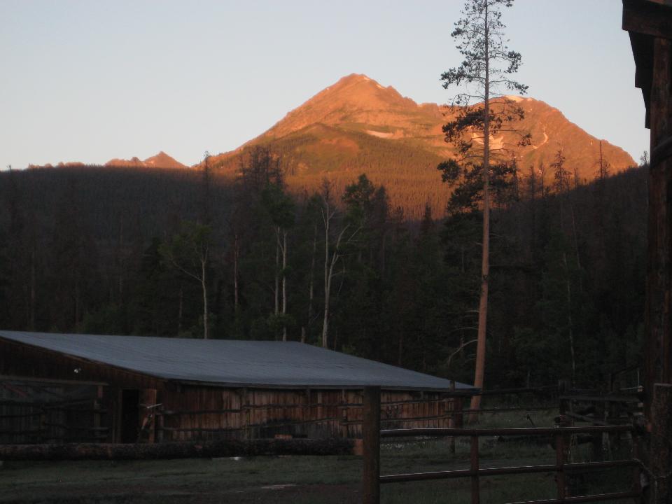 2. Looking over Green Mountain Resevoir at Eagles Nest mountain 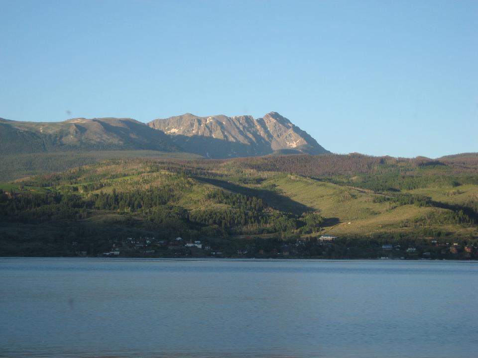 3. 7 AM, and ready to go, thanks to my taxista, Marshall 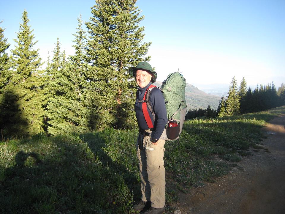 4. From Elliott Ridge, looking west (Vail ski area right of center) 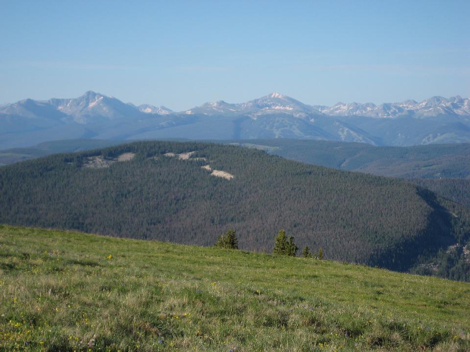 5. Looking west ) 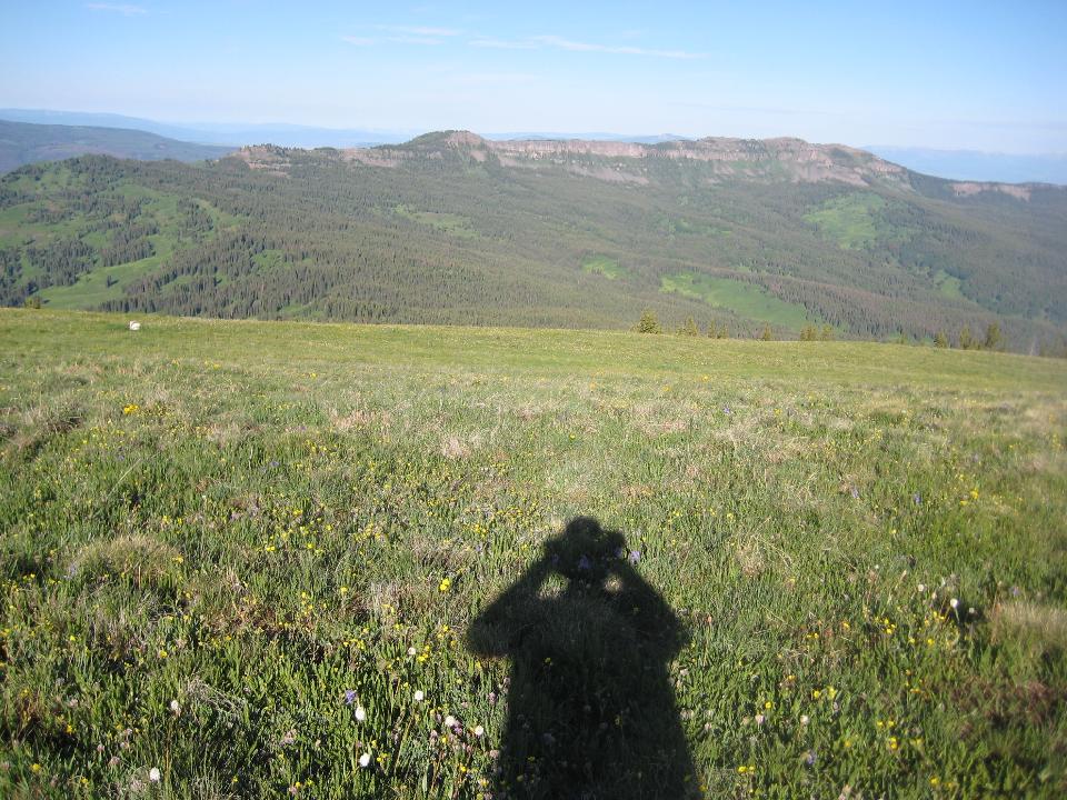 6. First glimpse of Eagles Nest and (behind it to the right) Mt. Powell 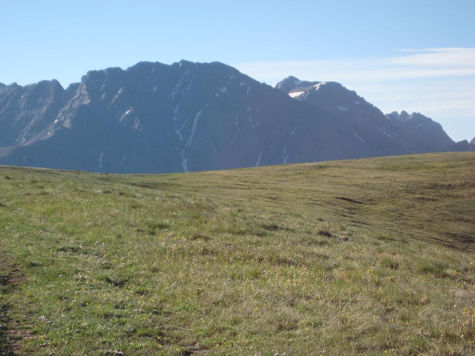 7. Rydbergia were profuse 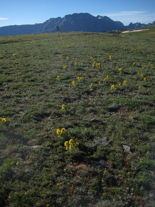 8. 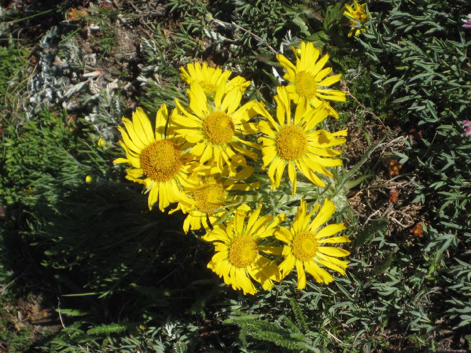 9. Meridien Mountain (right) giving way to the Cataract Crags, Mt. Powell, and Eagles Nest 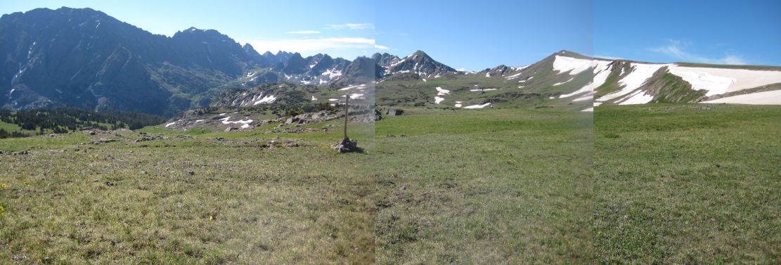 10. 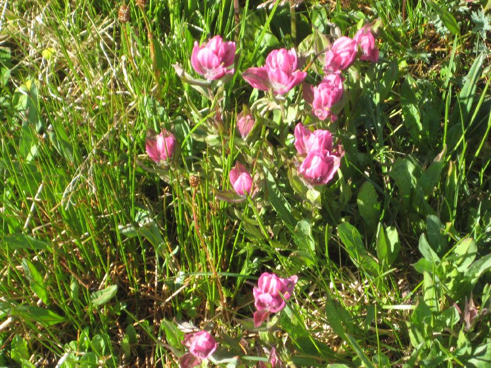 12. View of the headwall of Cataract Creek. The pass over to Piney River drainage is marked with a * 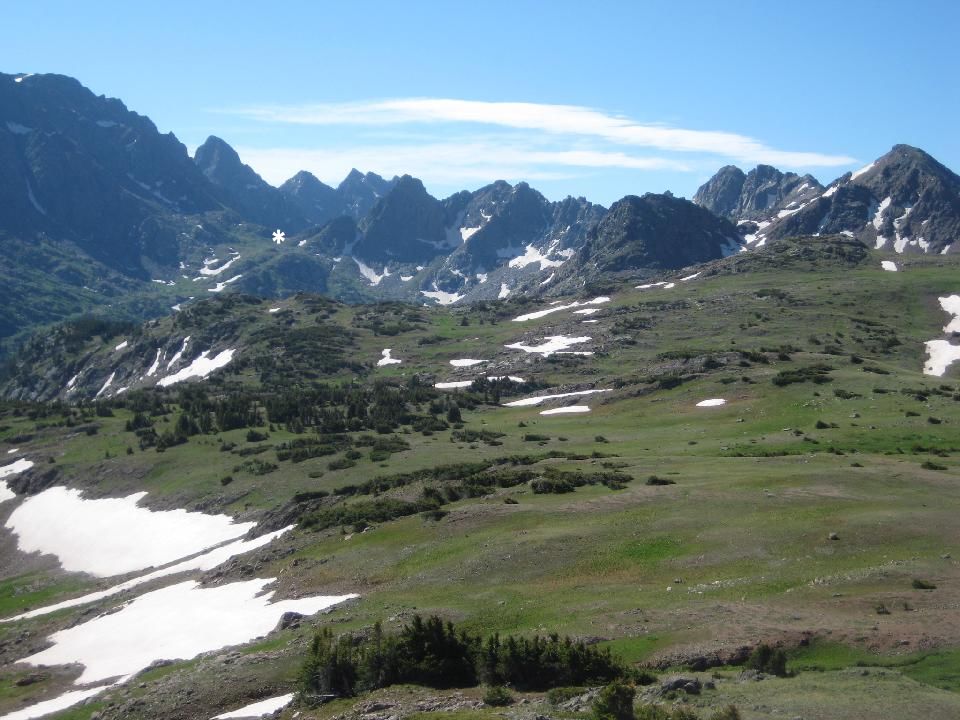 13.  14.  17. The headwall and summit lake (tarn) of Cataract creek 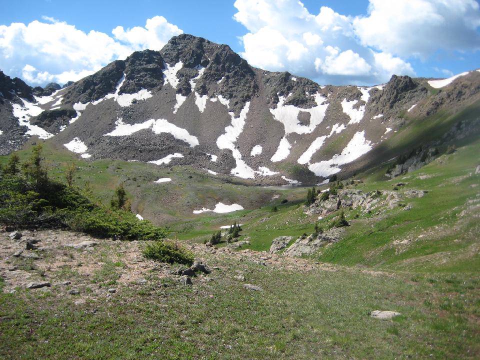 18. 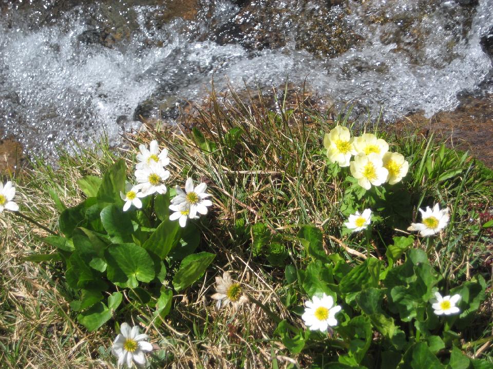 19. Looking down Cataract Creek 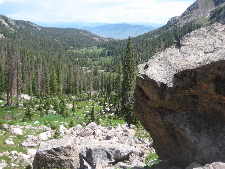 20. 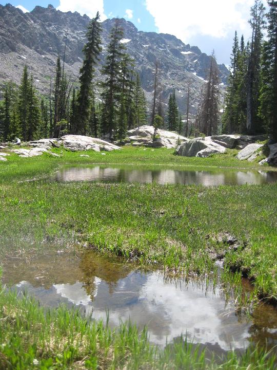 21. 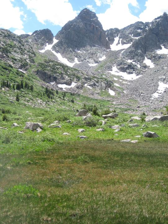 22. Cataract crags up close 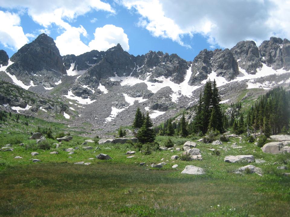 23. After descending into the Cataract valley, I rested a while, then started the climb up to the pass. This shows my route into the valley. 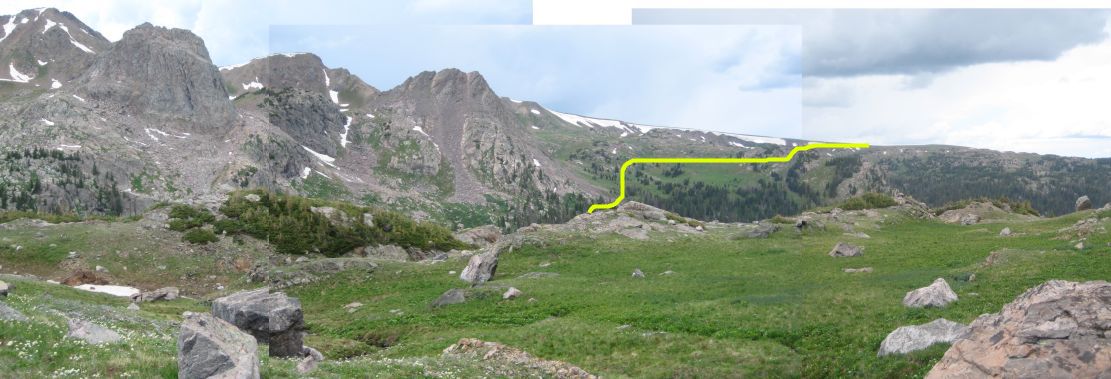 24. As storm clouds gathered, I reached the pass (12000 feet) over to the Piney River drainage. This was taken from the pass, just as the rain began. Thunder and hail followed me down the other side of the pass. 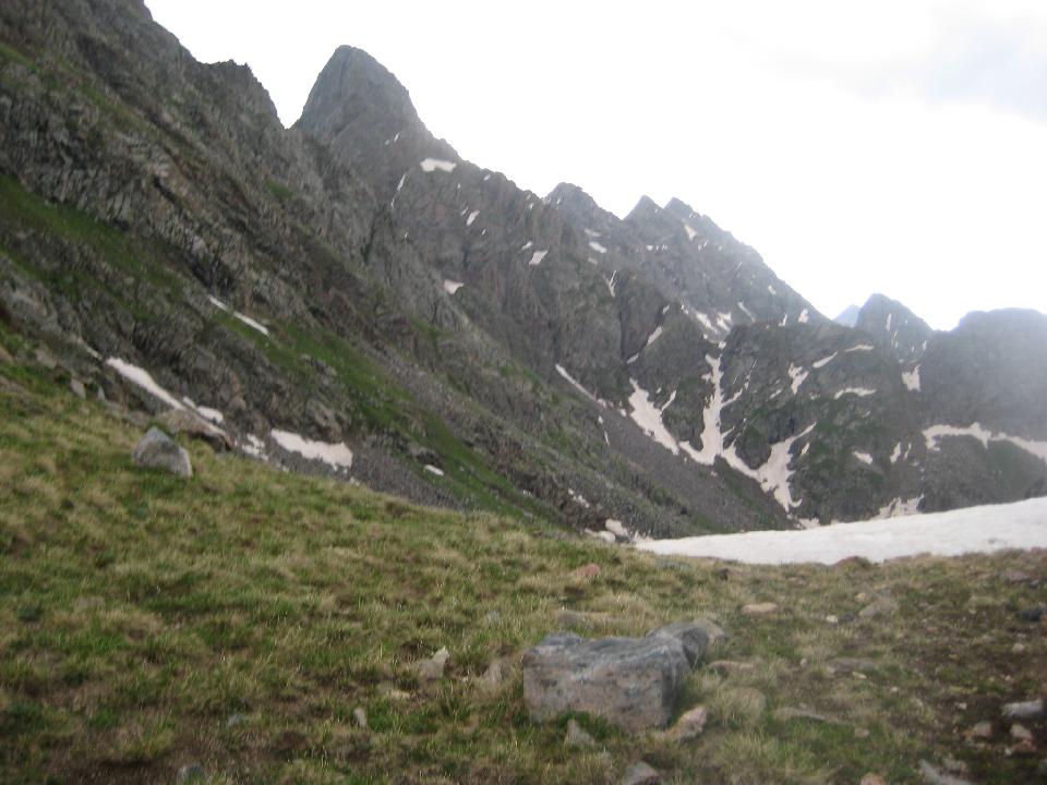 25. After a descent in rain and serious hail from the pass (center), we were back to 11000 feet  26. I reached the campsite at 2:30 PM 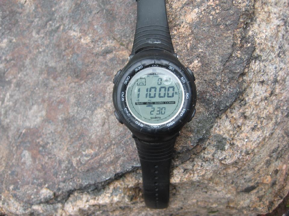 27. View out the tent door 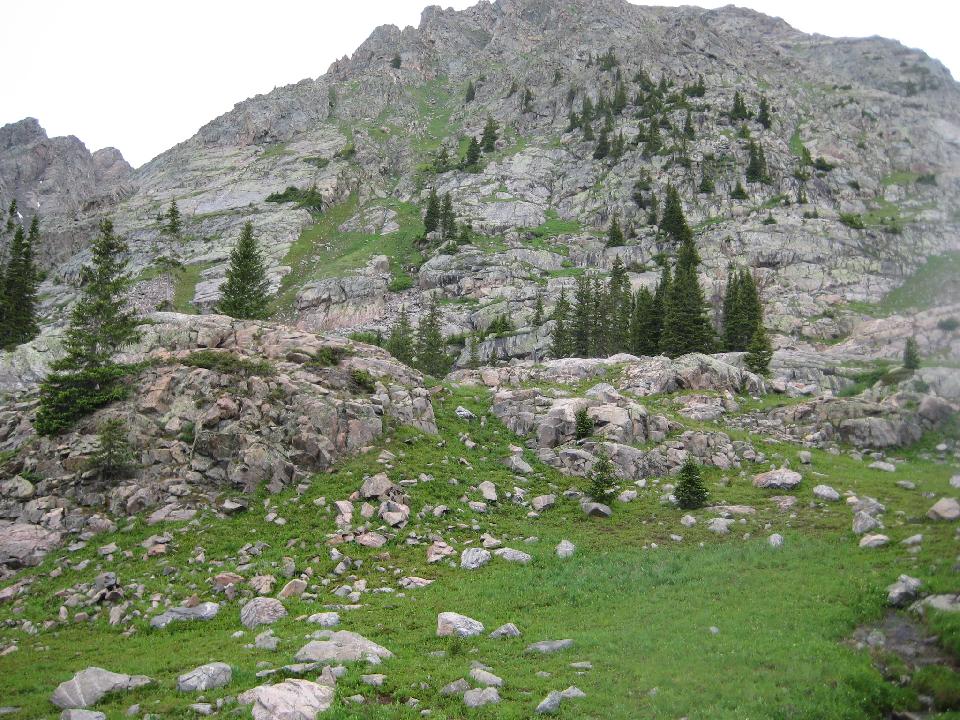 29. the next day's first goal (center) - Kneeknocker Pass, 12,500 feet 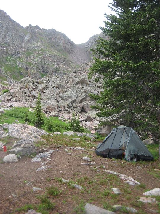 30. Climbing from campsite (*) the next morning towards Kneeknocker 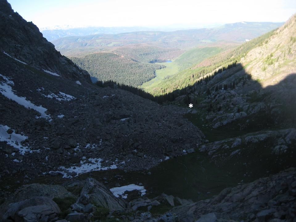 31. I reached the pass at 8:50 AM 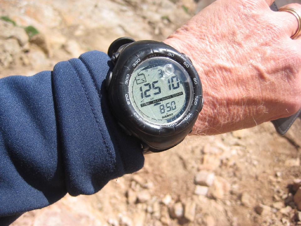 32. looking west over the pass 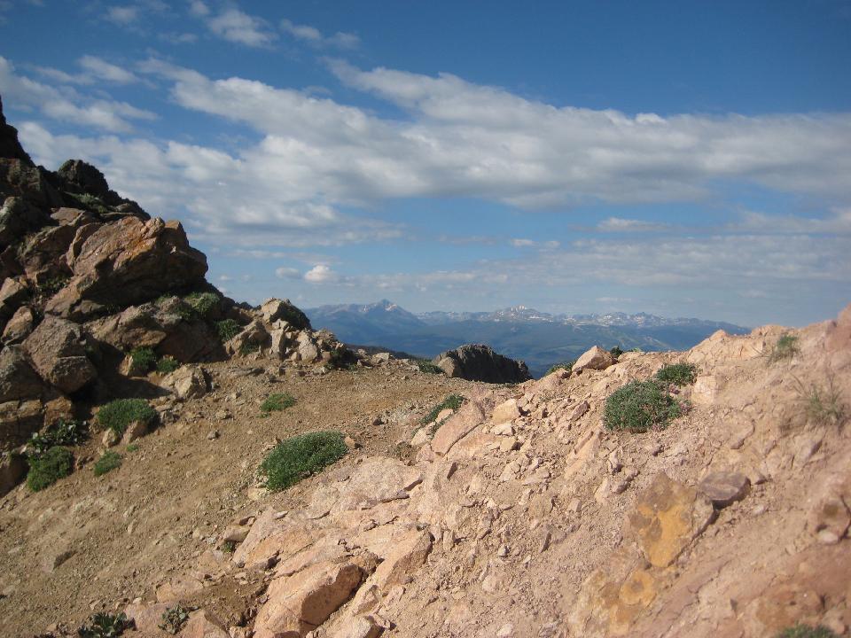 33. looking west at the Piney River valley 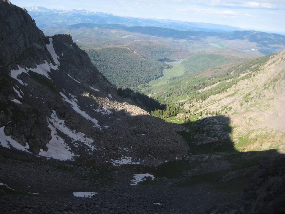 34. First look at Black Creek valley 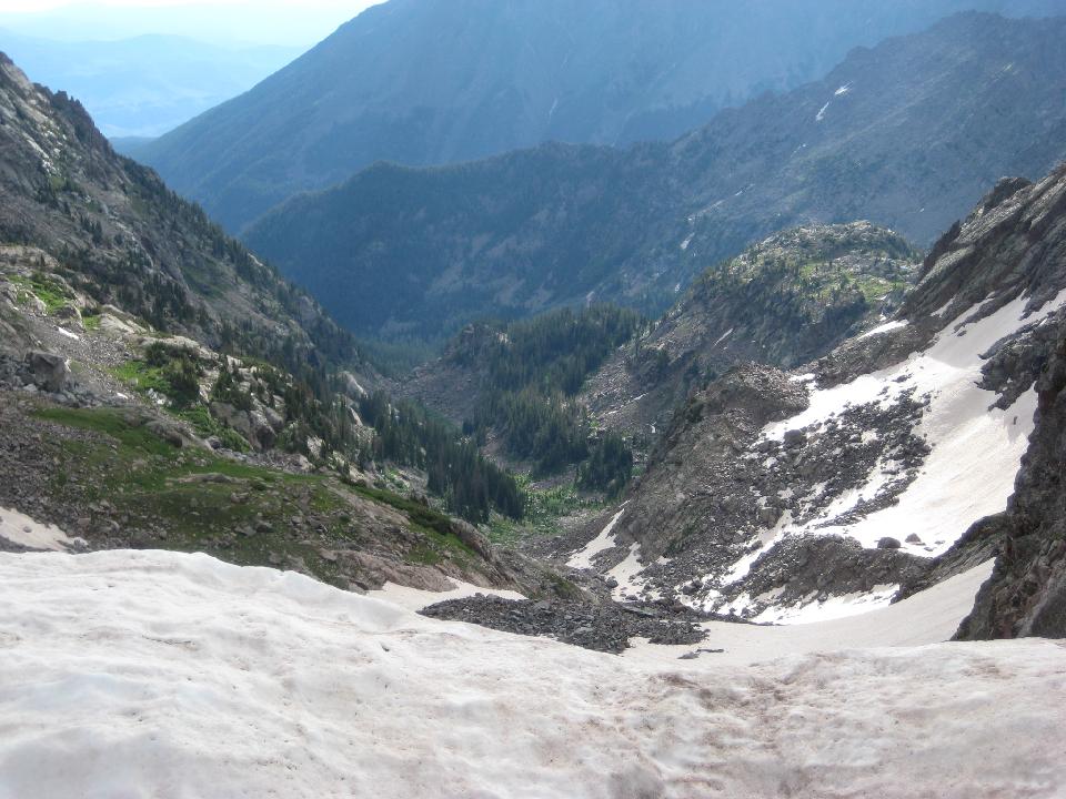 35. looking left (north) at Mt. Powell summit (1000 up). Sketchy weather discouraged a climb to the summit. 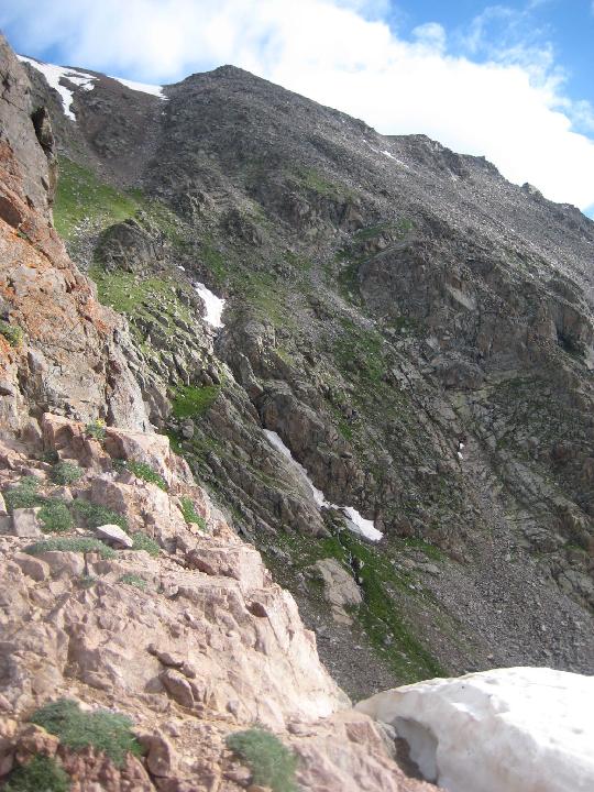 36. looking right at Peak C 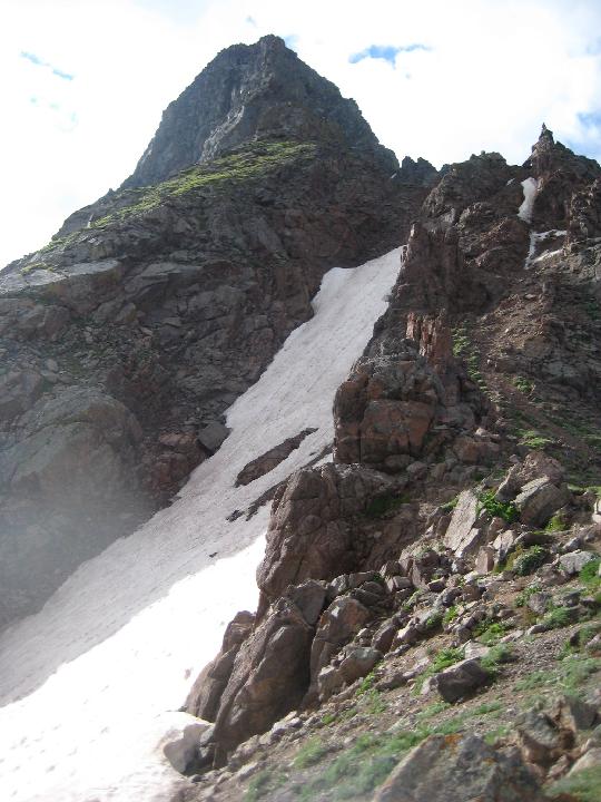 37. after descending the snowfield, looking back up (the snow dome at the top marks Kneeknocker Pass) 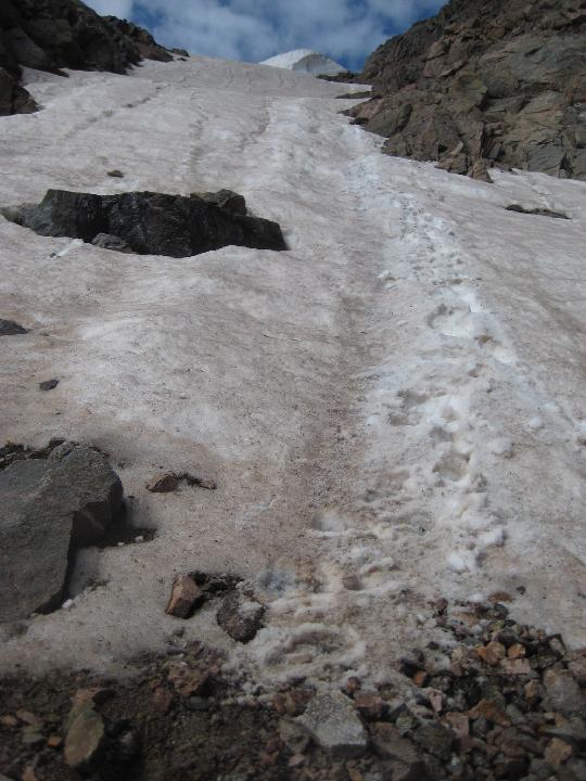 38. 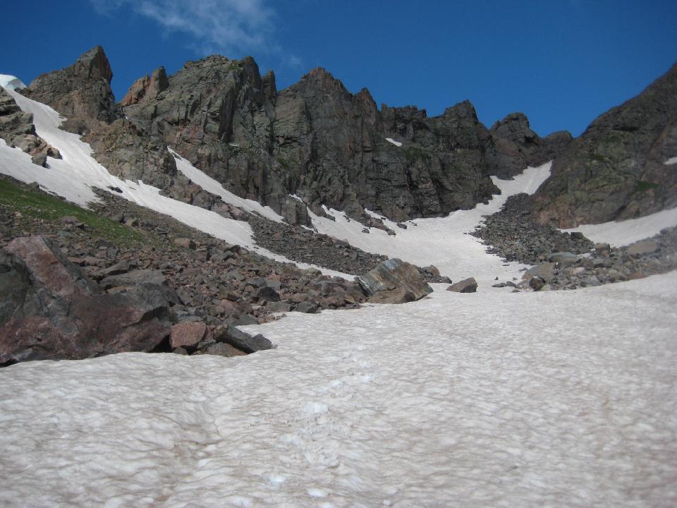 39. 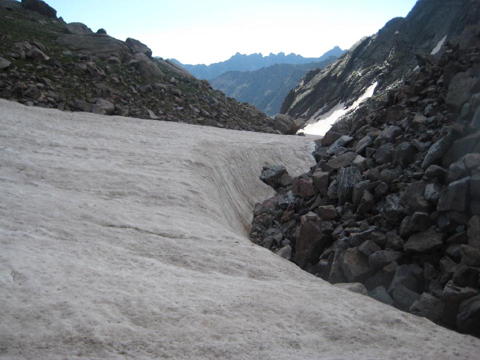 40.. 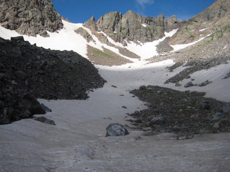 41. 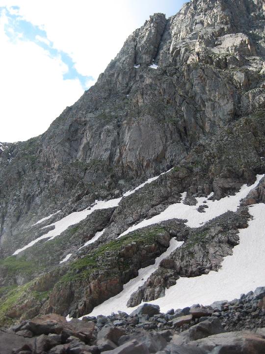 42. 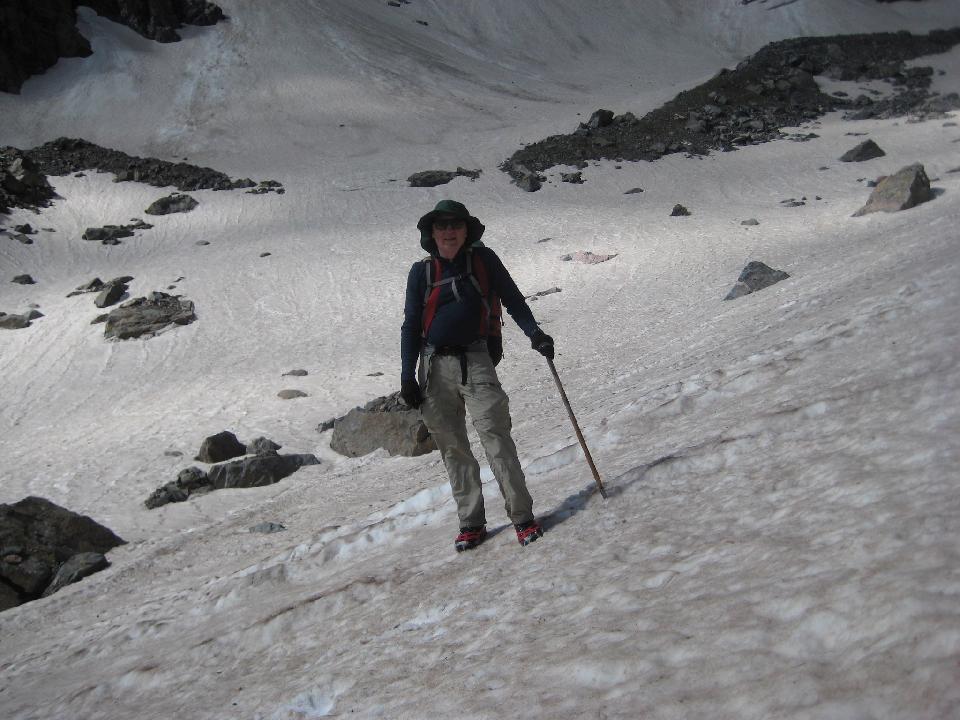 43. 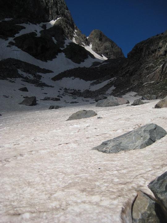 44. 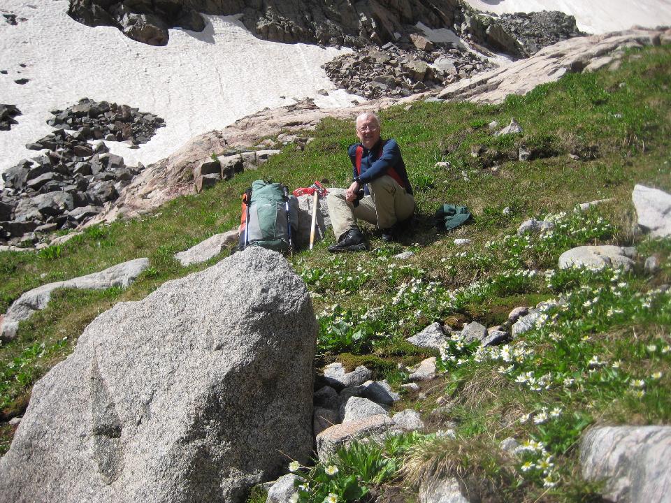 45. 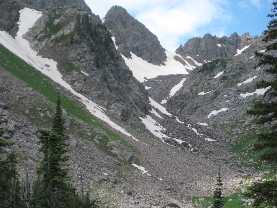 46. 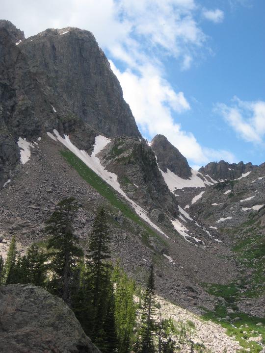 47. 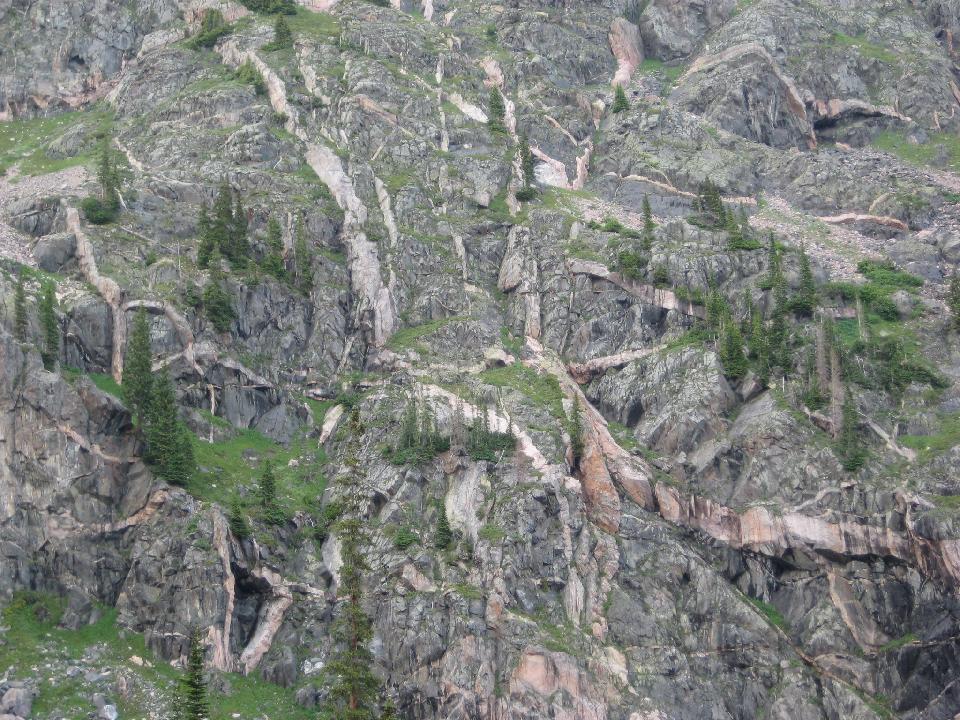 48. Looking up at the Bubble Lake wall 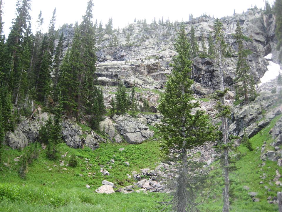 49. Bushwhacking begins - deadfalls, rocks, steep cliffs 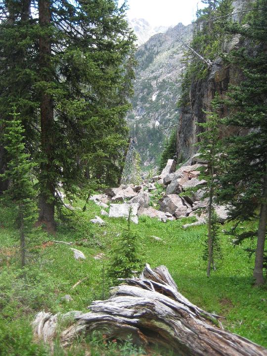 50.  51. wand lily (zigademus elegans or death camus) growing at 11000 feet  52. alpine columbine  53.  54. the wall with Bubble Lake above 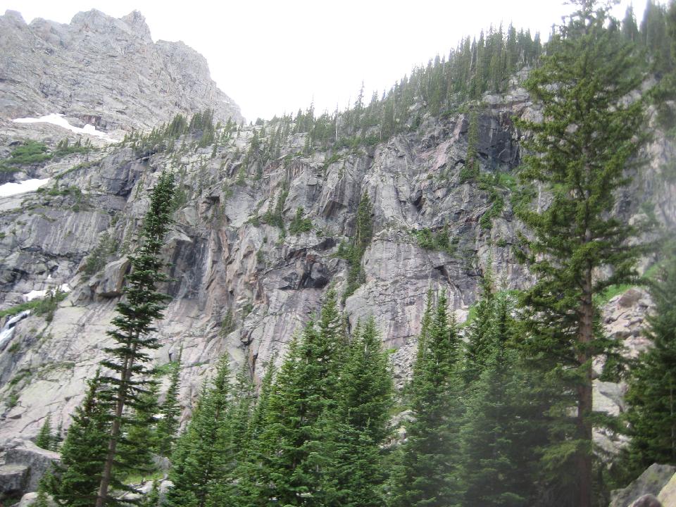 55. 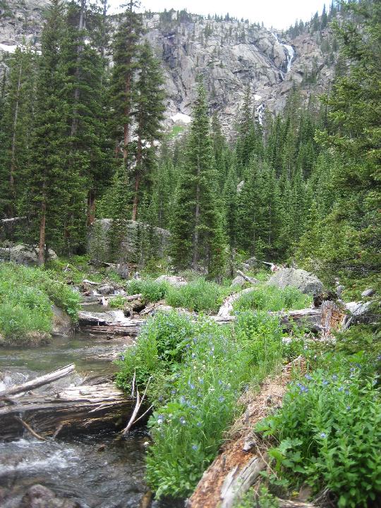 56. The waterfall from Bubble Lake 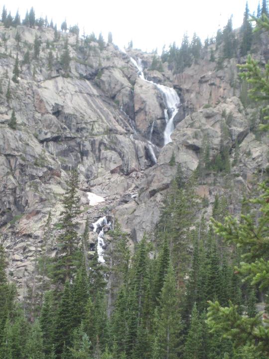 57. 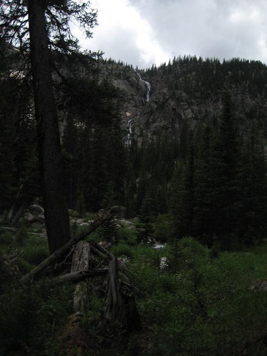 58.  59. The bridge over the creek (north fork, Black Creek)  60.  61. Site where Dan and I camped in 2009  62. I was trapped between the middle and south forks of Black Creek. I had to cross one to get out. The south fork is smaller. This is the south fork. 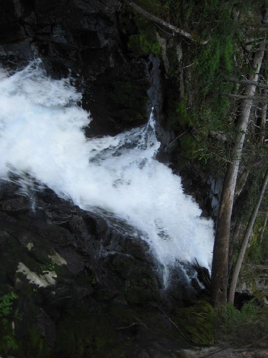 63. my salvation - two logs close together allowed me to cross 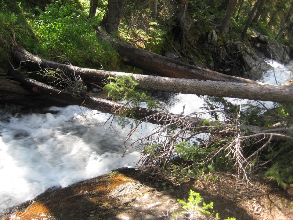 64. looking upstream 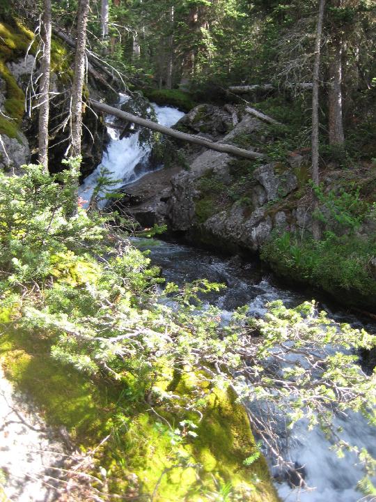 65. looking downstream 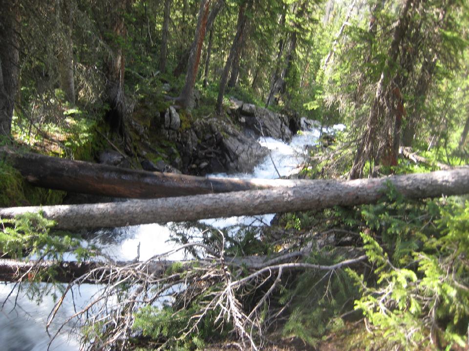 66. Scarcely 100 meters beyond the crossing of the south fork, the wonderful secret trail appeared. It would take me to the truck in 3 hours.Thank you CCC (Civilain Conservation Corps) of the 1930s.  67. tall chiming bells  68.  69. first view of the Blue River valley  70. the trail was superb, and greatly appreciated after the difficult bushwhacking. In 3 hours, I was back at the truck. 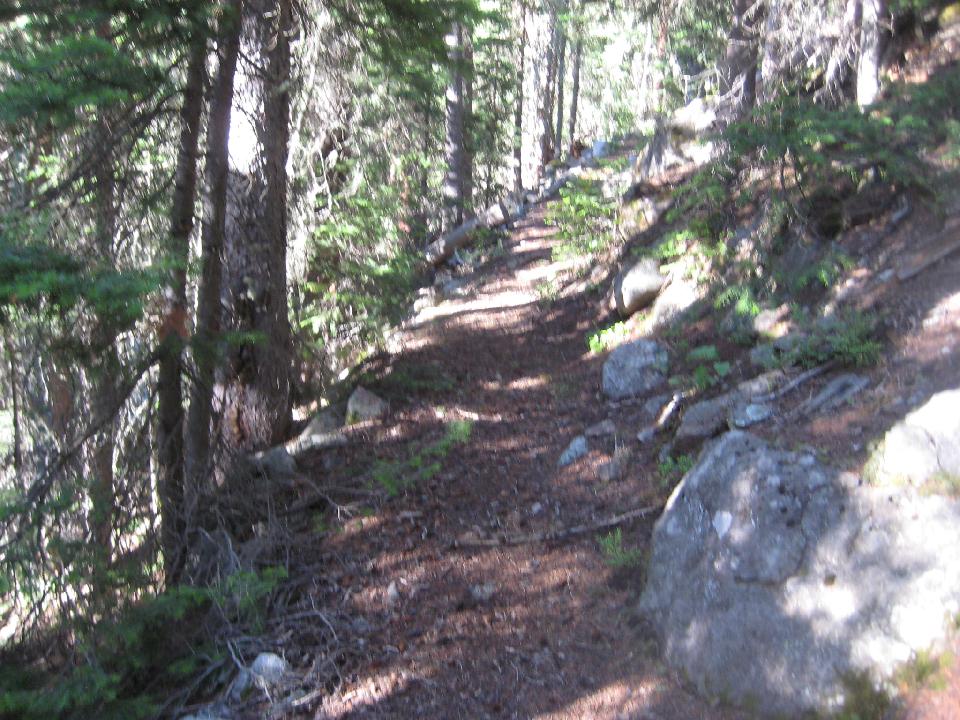 71. Black Lake 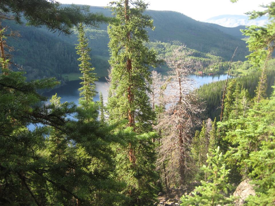 72. Looking back up Black Creek valley 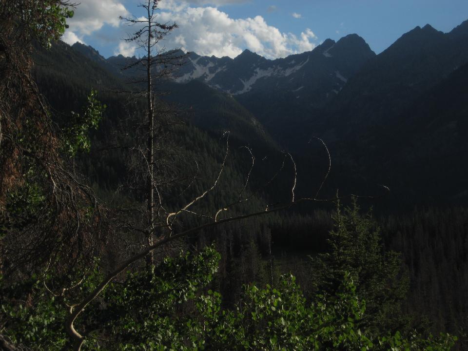 72. I didn't see any bears, but there were many signs of them. 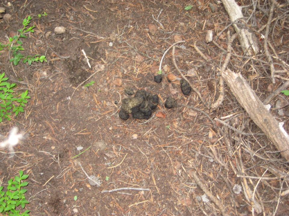 72. A clearing on the Gore Range Trail, full of blooming false helebore 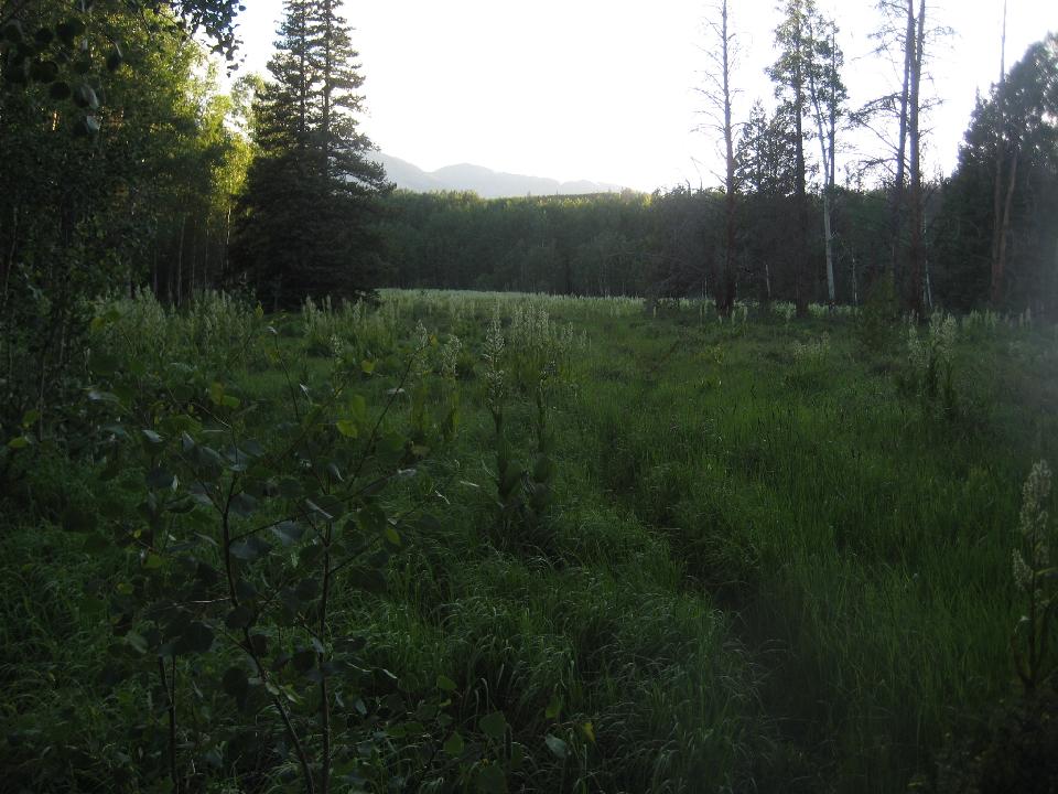 73. Bull moose in velvet 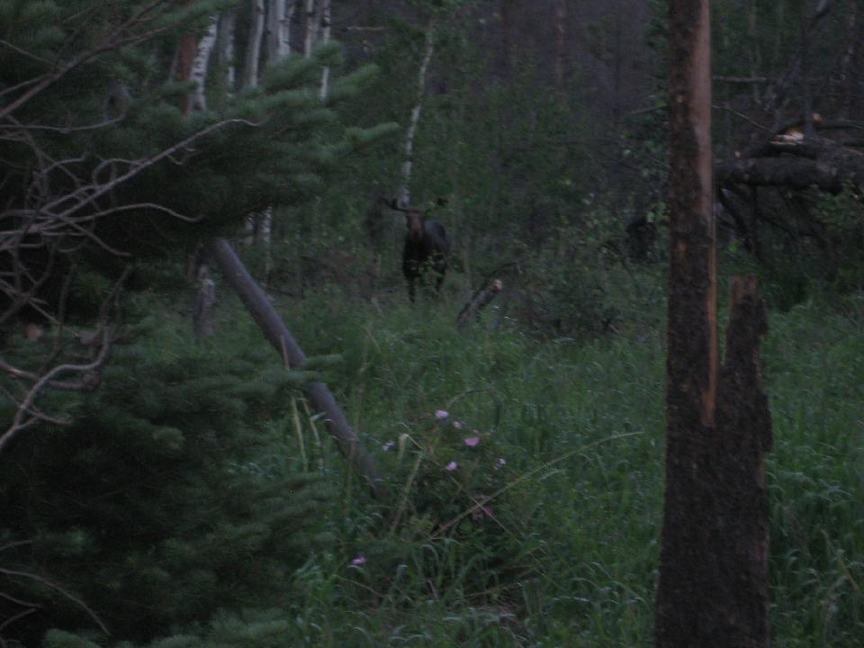 74. 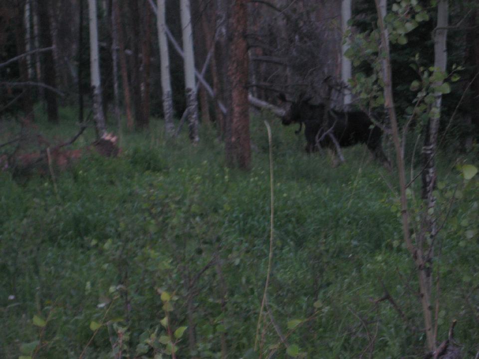 75. 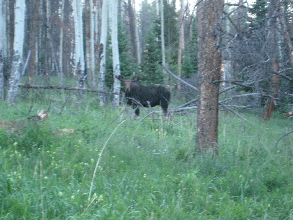 76. 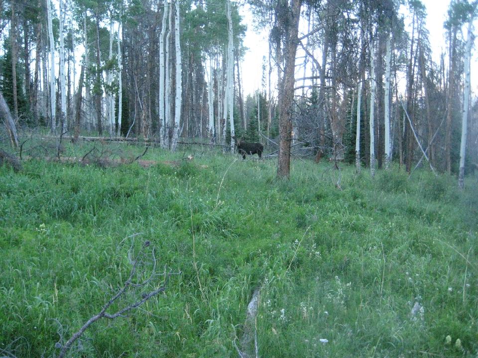 77. Above Brush Creek, looking at the Blue River Valley at dusk 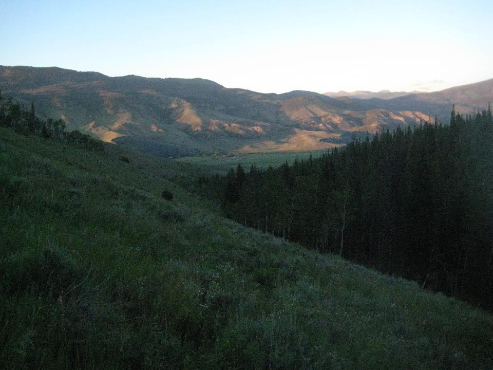 78. The southern high Gore peaks. I reached the truck at 8:30 pm 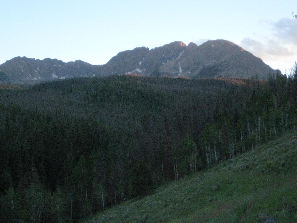 |