Bill chose perfect September days to hike from the Pitkin lake trailhead near Vail, up and over the crest of the Gores at "Might Pass", and down into the remote South Fork of Slate Creek. A long, long hike took him the entire length of Slate Creek
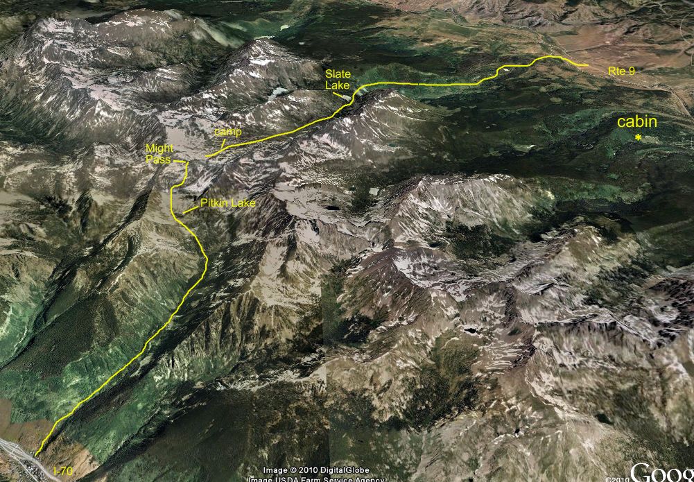 6. Heading out on Pitkin Creek Friday morning 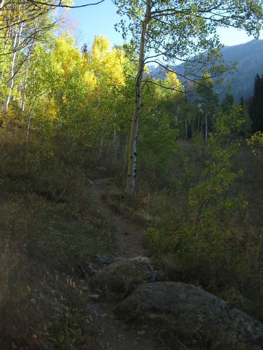 7. 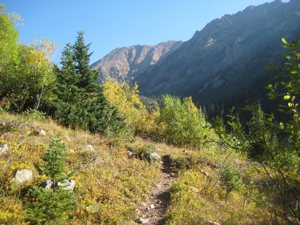 8. looking back to the I-70 corridor 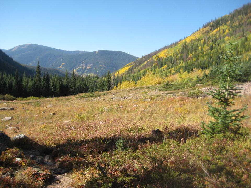 9. Pitkin waterfall 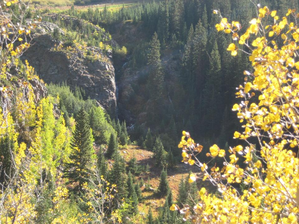 10. 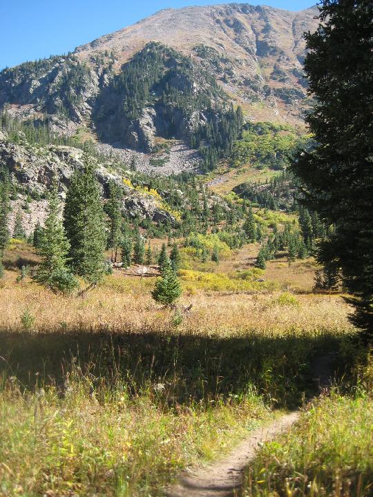 11. fringed gentian 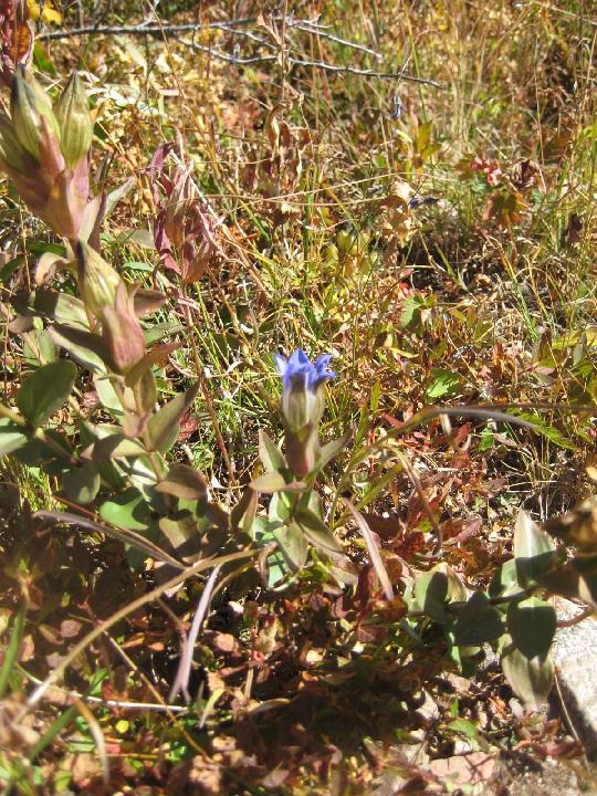 12. 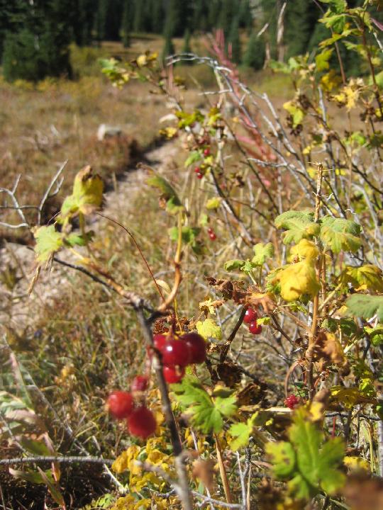 13.  14. * marks the pointy gendarme at Might Pass  16. 4 hours to Pitkin Lake  17.  18. 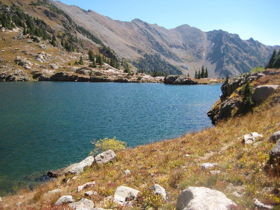 20. * marks the pass 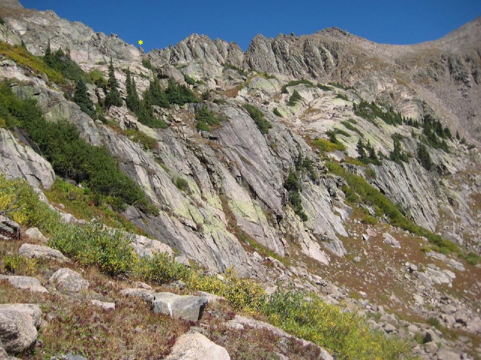 21. looking back at Pitkin Lake 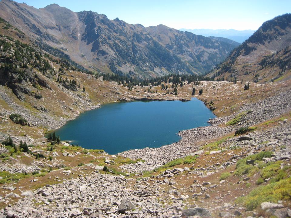 22. a little higher... 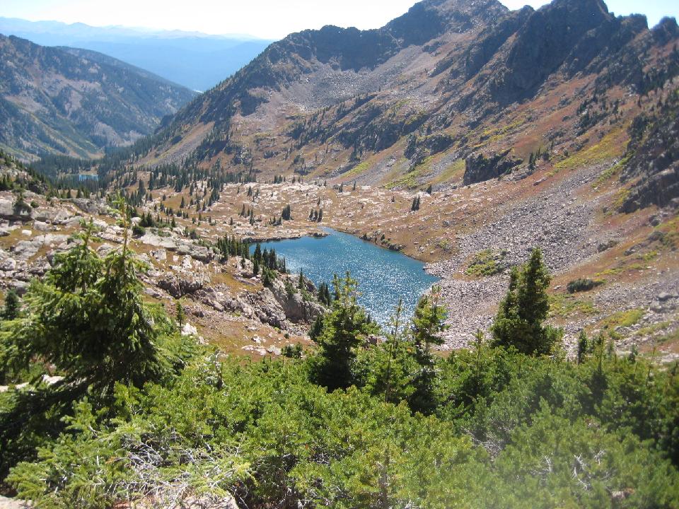 23. last push to the pass (*) 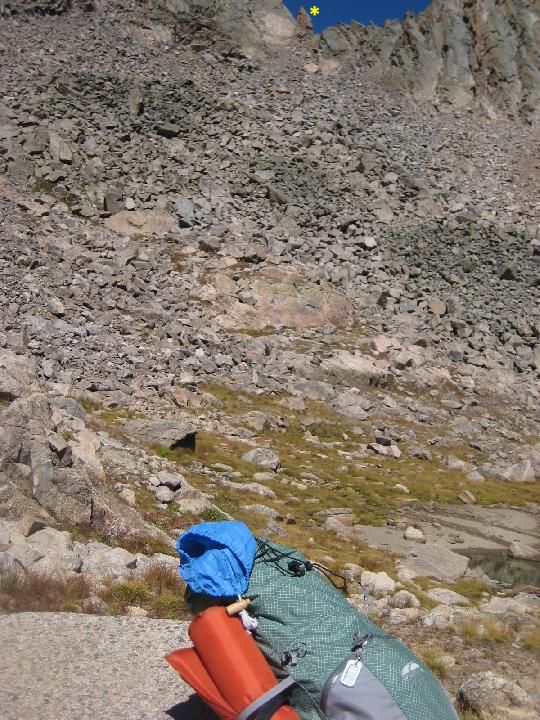 24. russet tundra 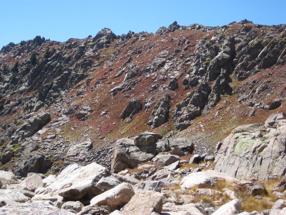 25. gendarme 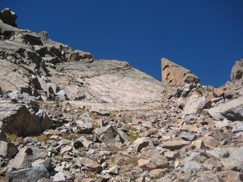 26. 7 hours to the pass 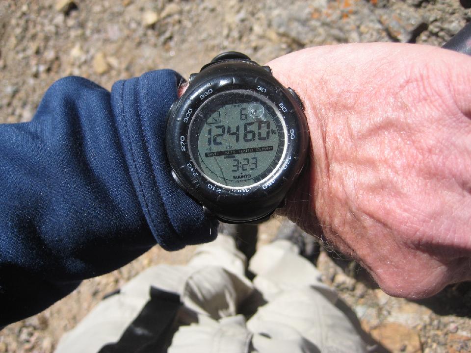 27. looking back (Vail ski area to the right) 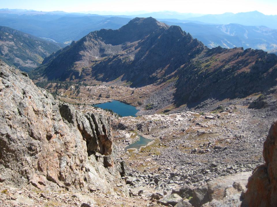 28. first view over Might Pass of the headwall of South Slate Creek 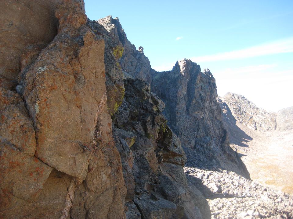 29. South Slate Creek 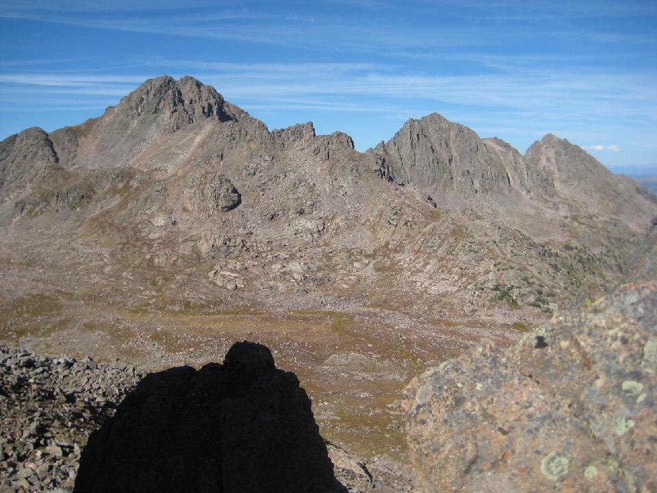 30. ugh! looking over Might Pass, down a steep, narrow defile with rotten rock, scree, dirt. No signs of any goats or people going in there. I almost turned around... 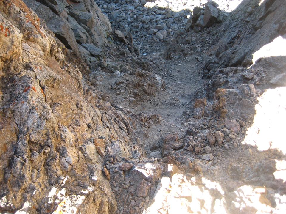 31. I backed down the Slate Creek side of the pass slowly. This is looking back up.  33. it was 30 minutes of dicey down climbing 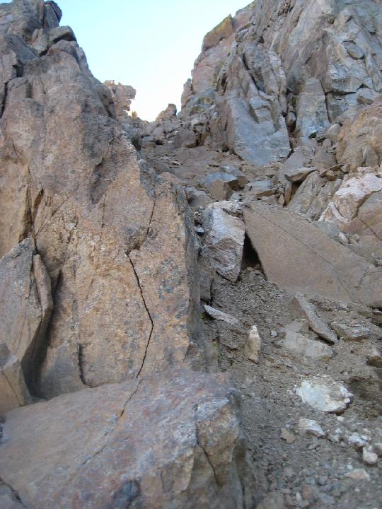 34. 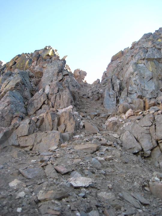 35. But I was rewarded with my first view of the South Slate valley 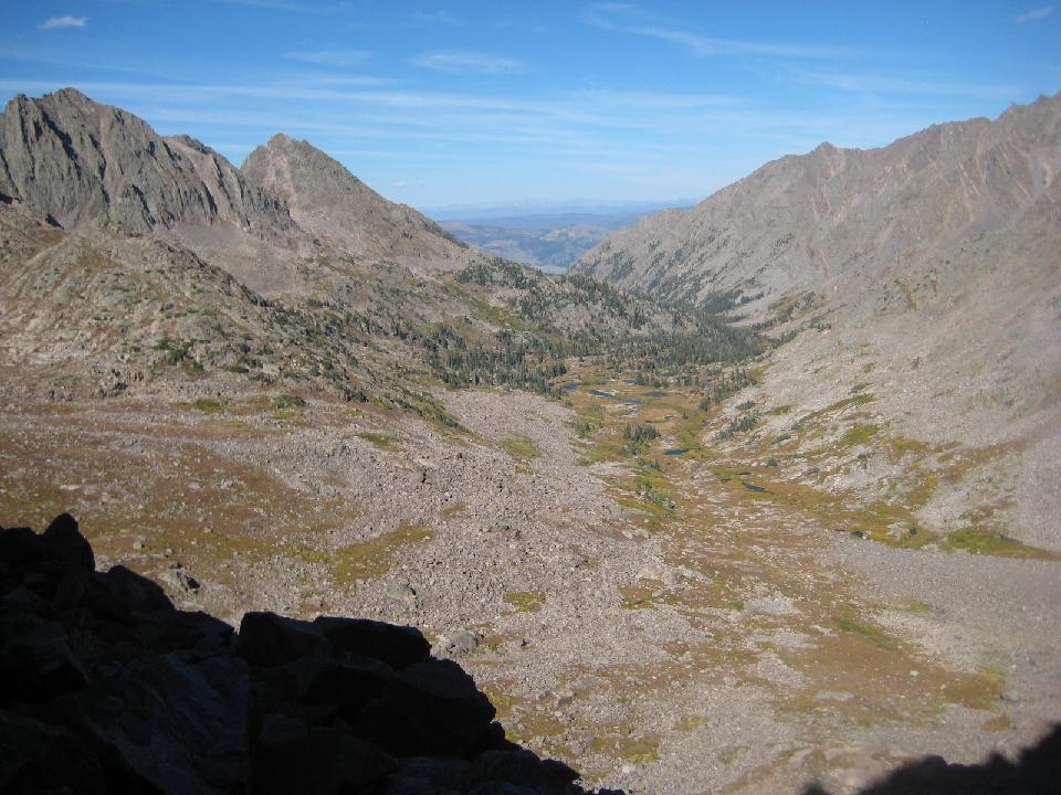 36. an hour of unpleasant, but not dangerous rocky downclimbing 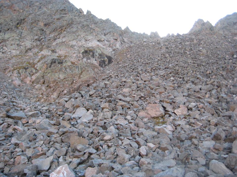 37. 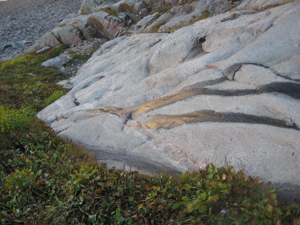 38. 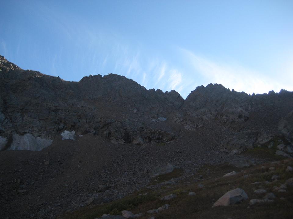 39. 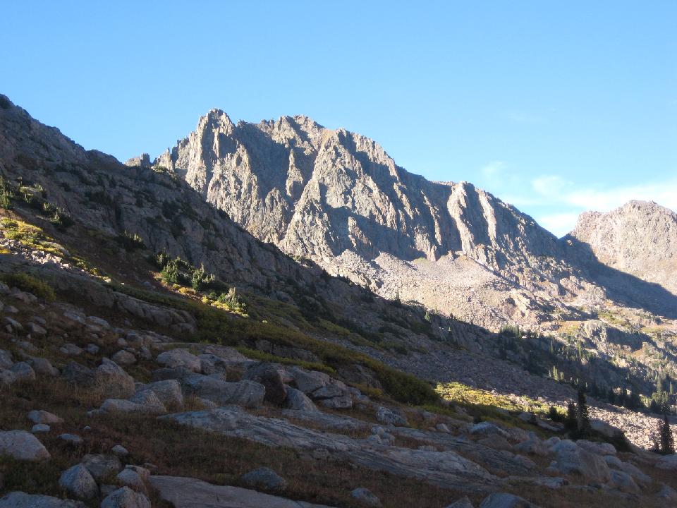 40. camp at about 11,400' 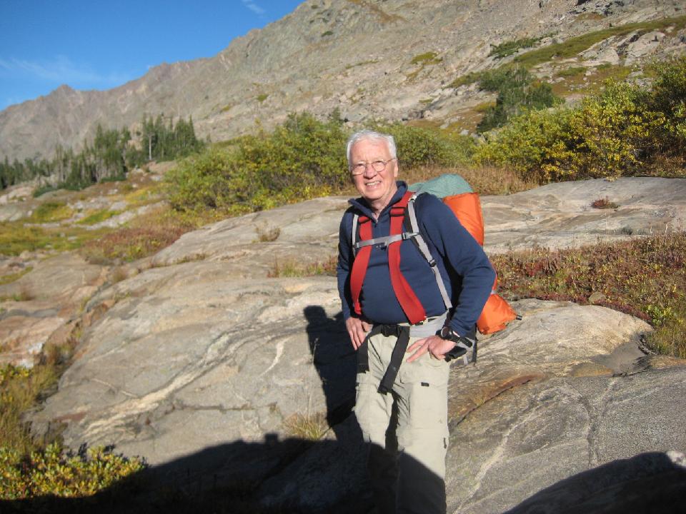 41. 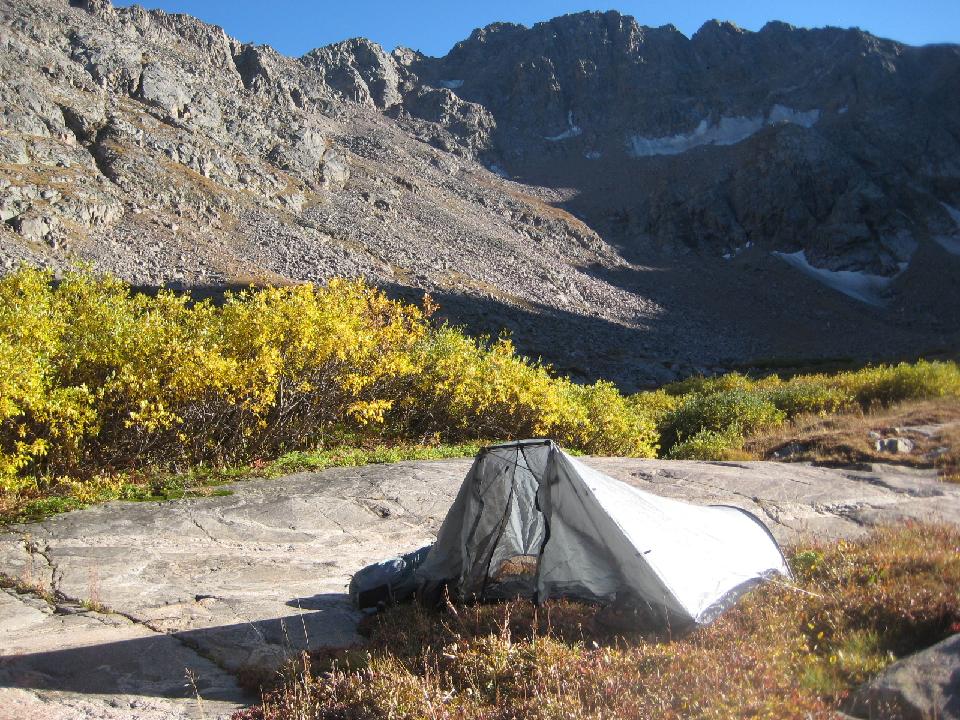 42. water nearby 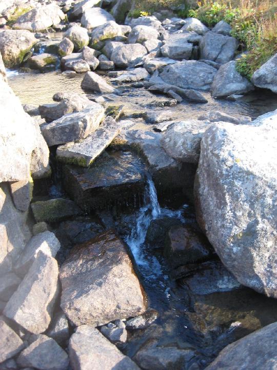 43. sunrise. It was incredibly warm - the temperature did not fall below 40 degrees at night 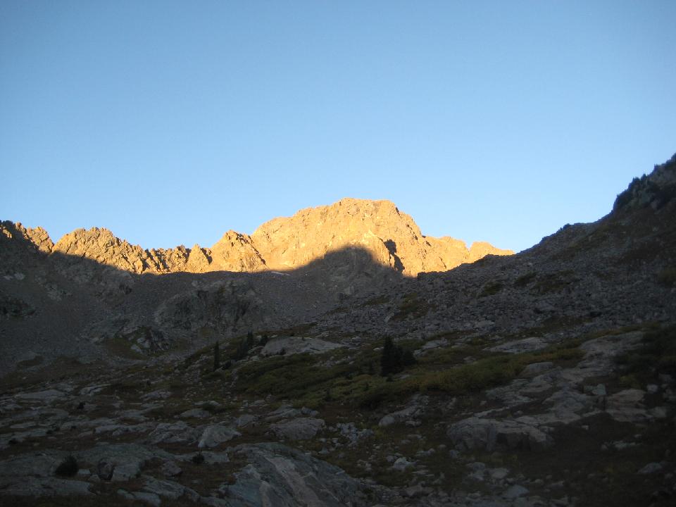 44. * marks Might Pass 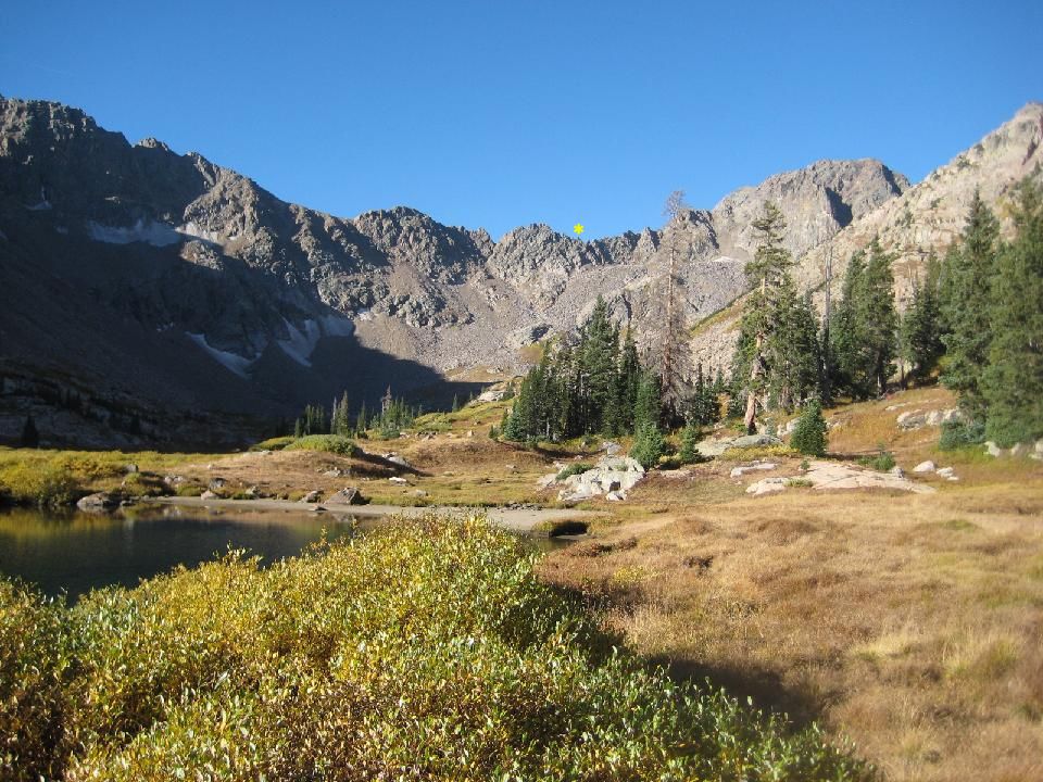 45. * shows the gendarme 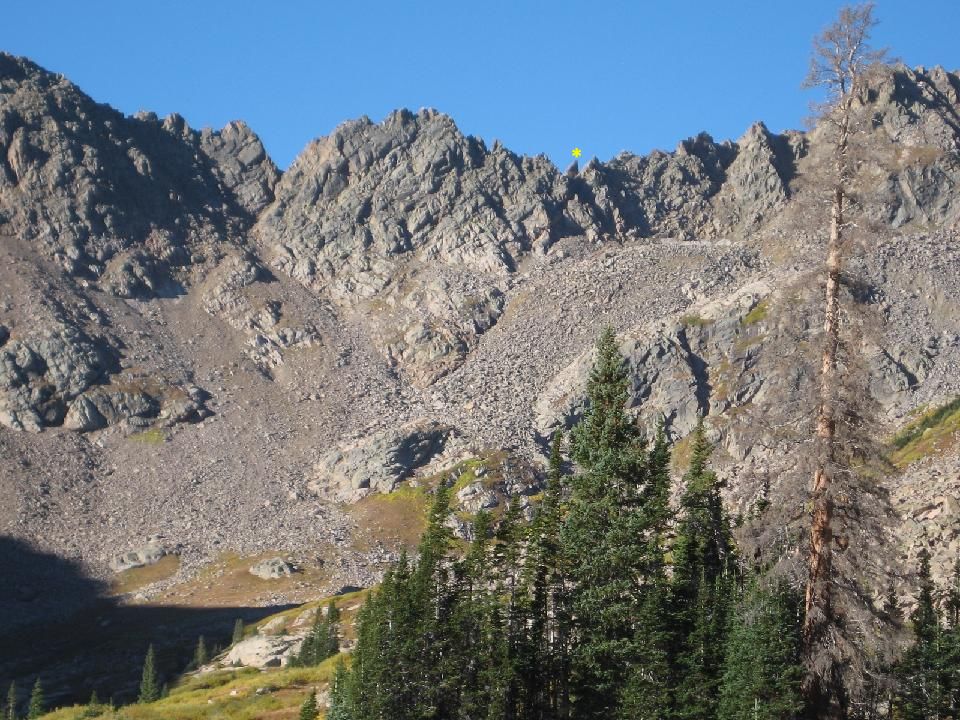 46. Time to move on down the valley 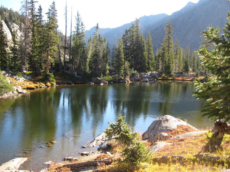 47. 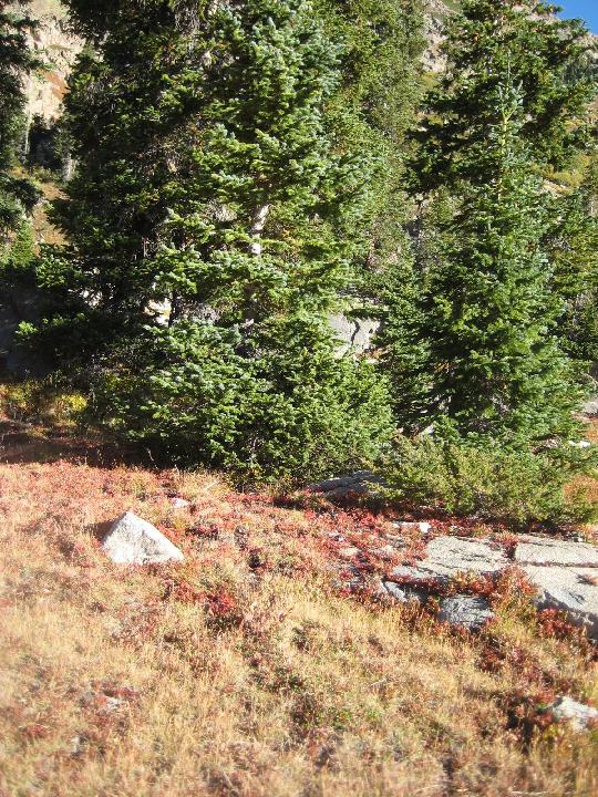 48. 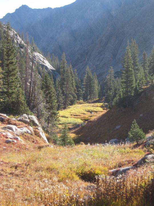 49. Looking back up  50.  51. This marked the end of the upper valley, quite flat and nearly treeless. From here, it narrowed and fell steeply in thick timber  52. fossil whale?  53. 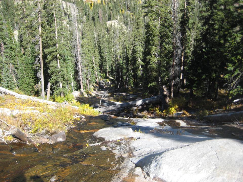 54. 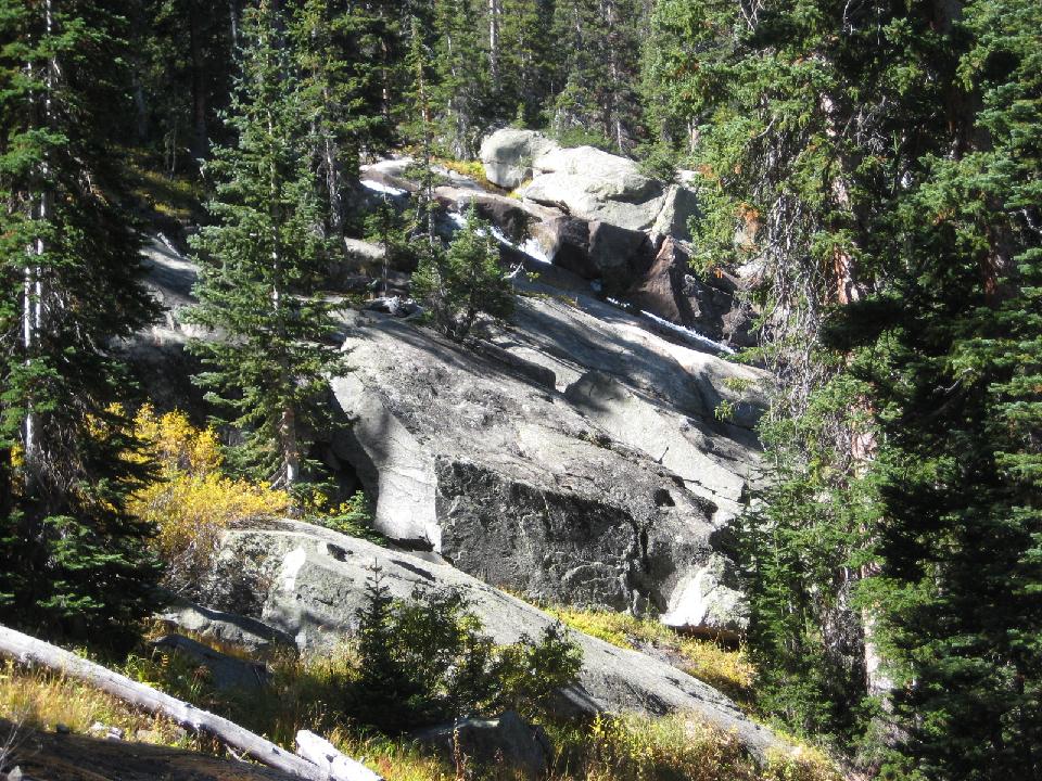 55. the famous (among the few who know it) Slate cascade. Perhaps the most beautiful spot in the Gore Range. In June it must be stupendous. 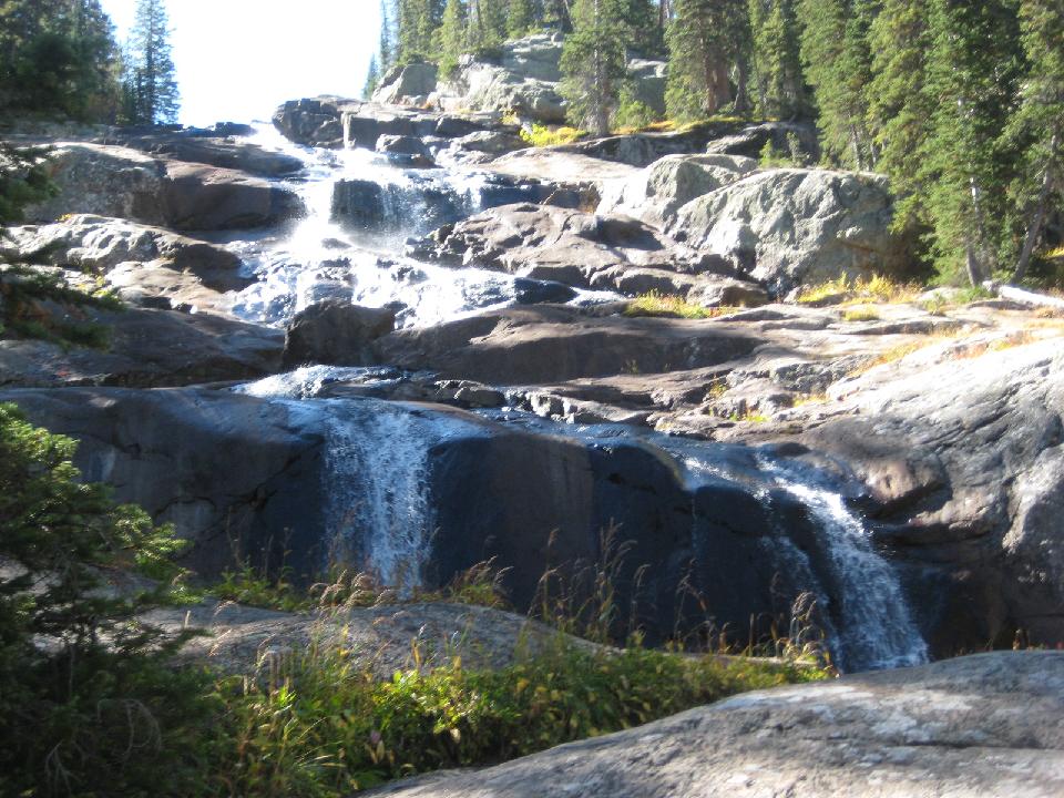 56. 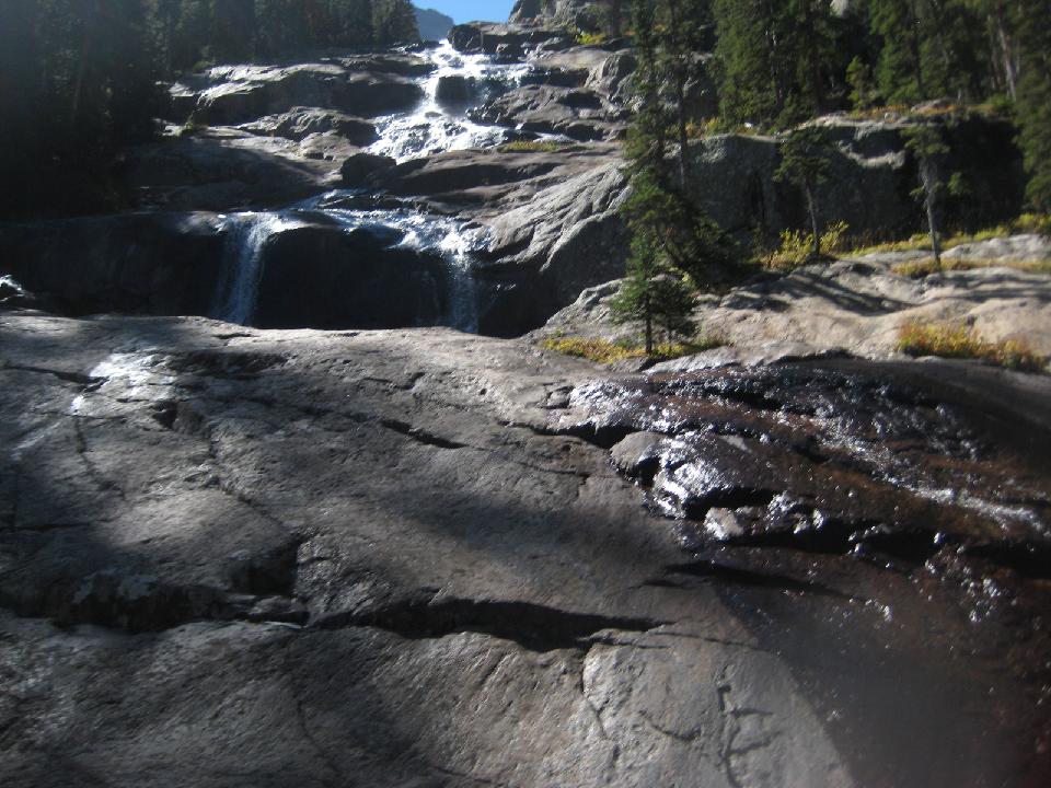 57. 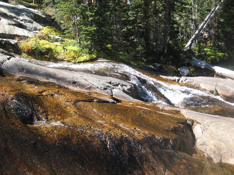 58. 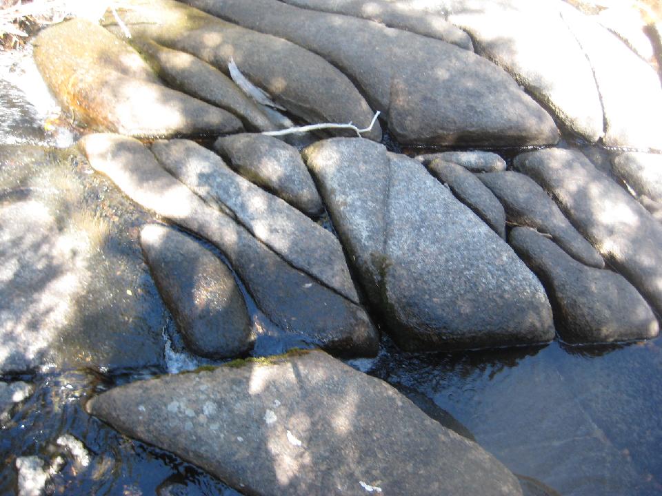 59. 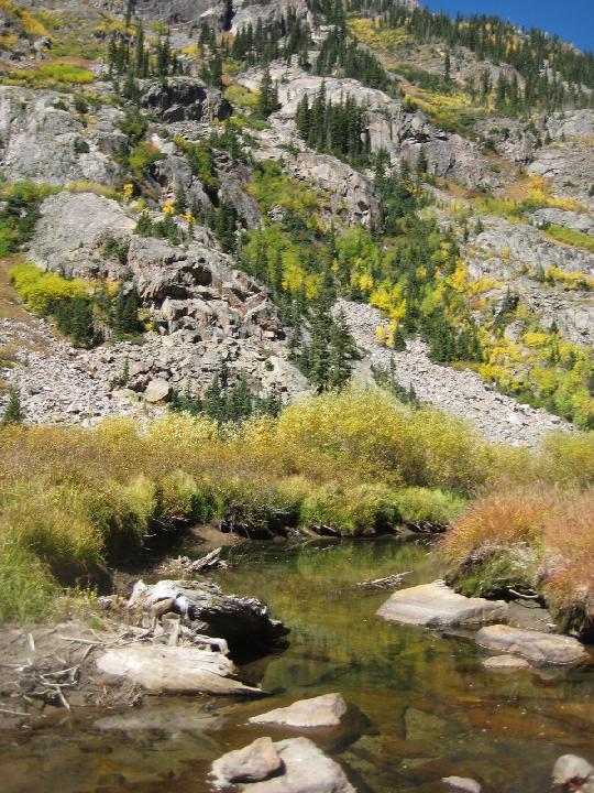 60. first glimpse of Slate Lake 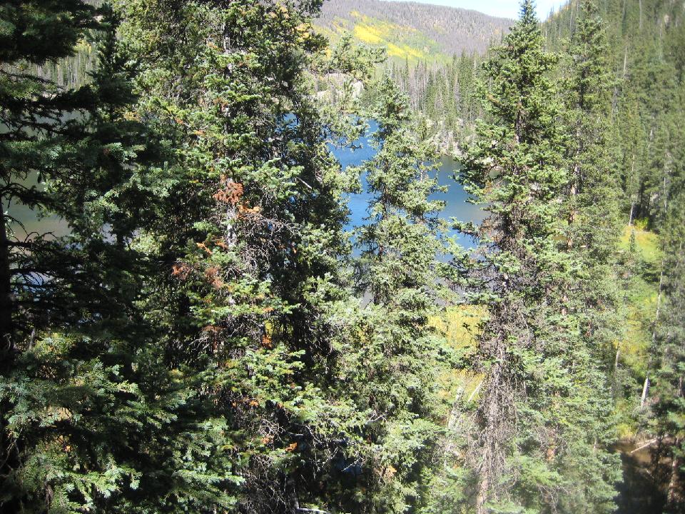 61. 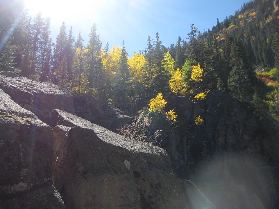 62. Slate Lake 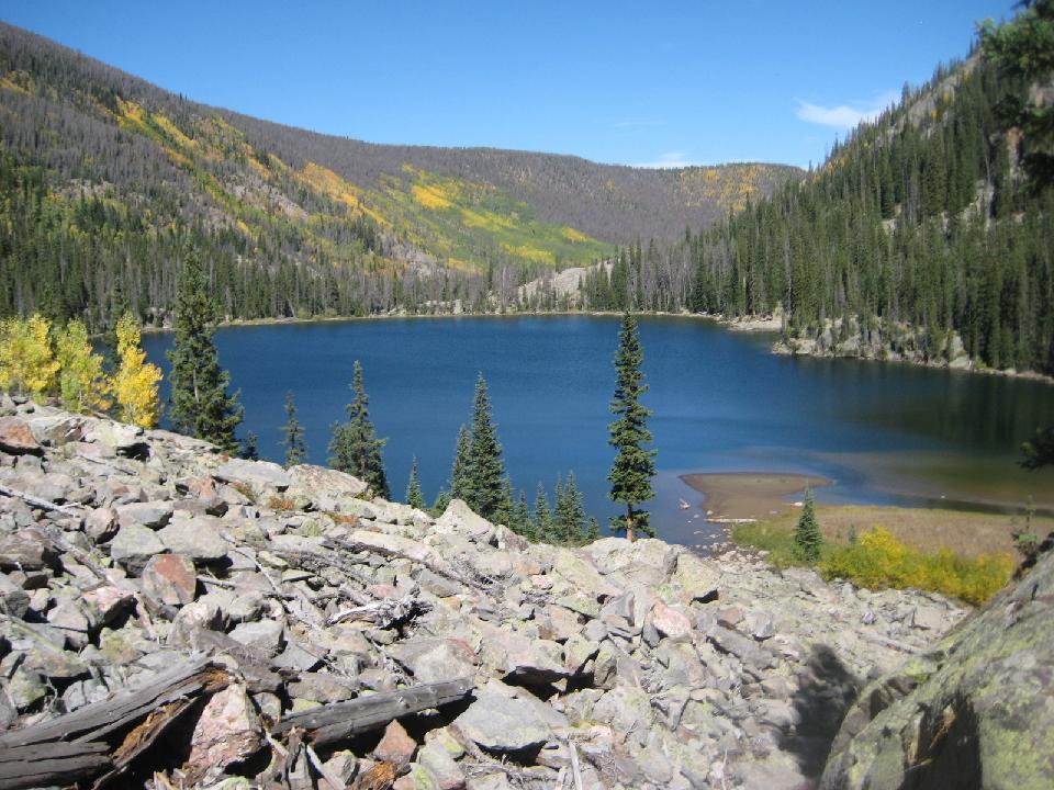 63. 7 trailless hours to the lake, no thanks to the endless willows, rock fields, unannounced cliffs, and downed timber 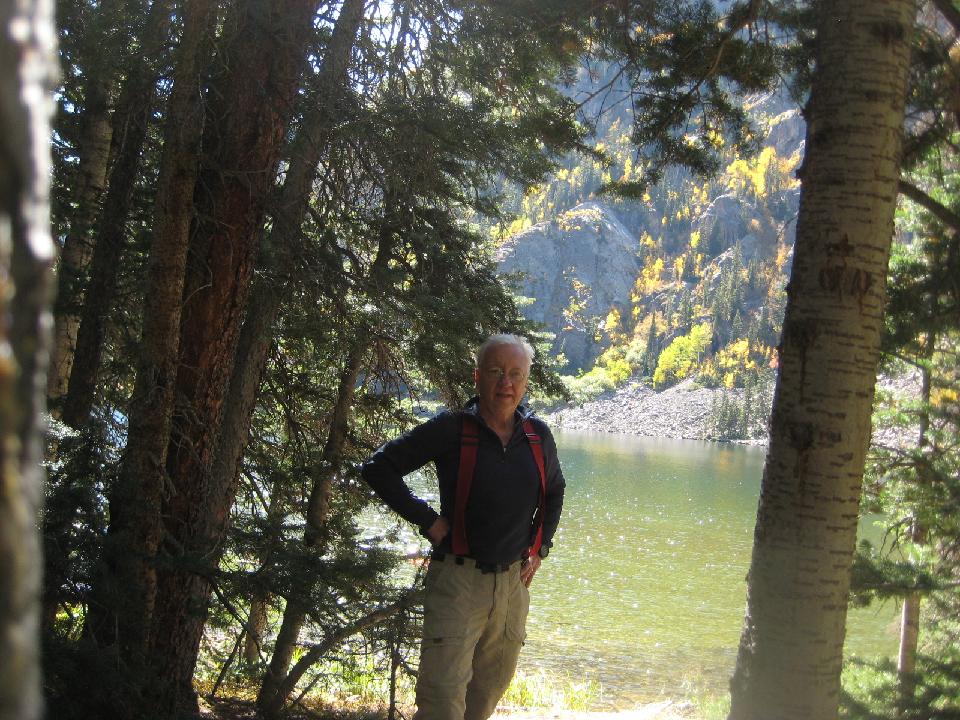 64. Slate Lake 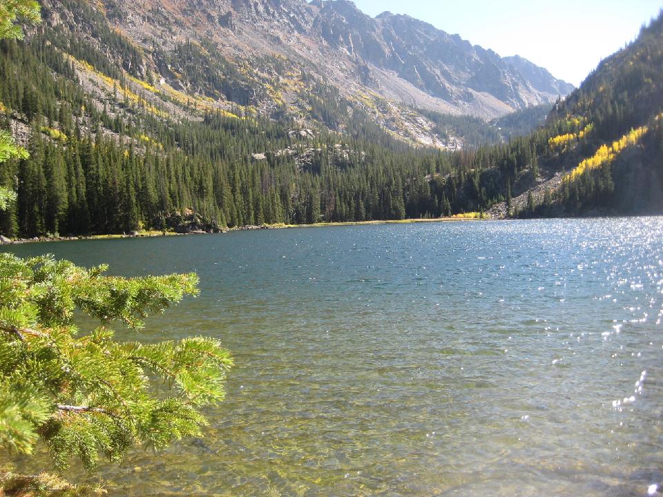 65. A trail! And a good one, made by the CCC in the 1930s  66.  67.  68. 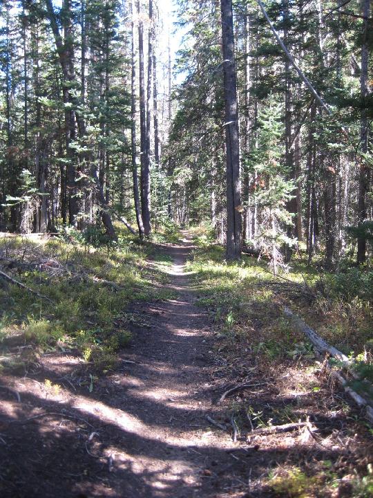 69. Signs of beaver activity  70. looking back up the valley 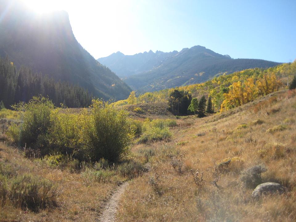 71. 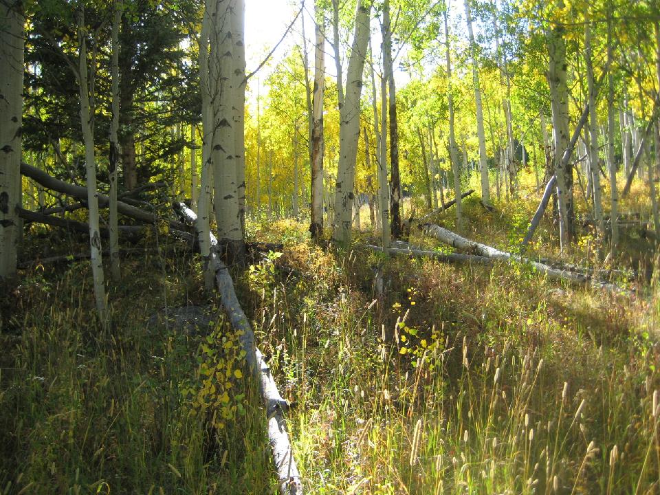 72. 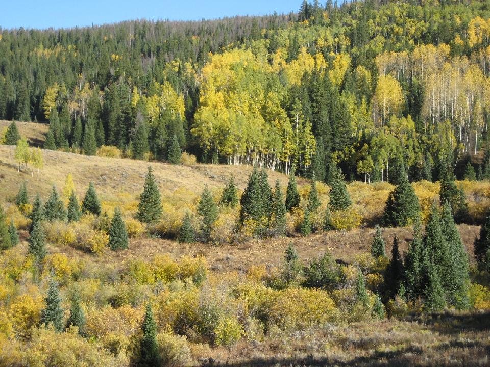 73. beaver dam  74. the old cabin ruins at the junction of the Gore Range Trail and the Slate Creek Trail  75.  76.  77. 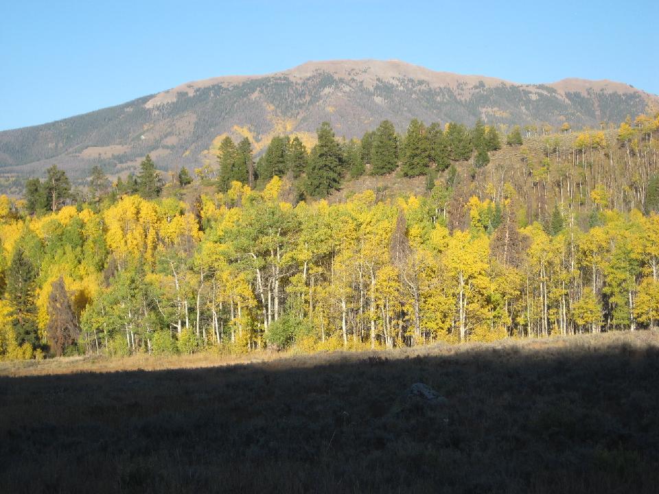 78. Looking across the Blue River Valley 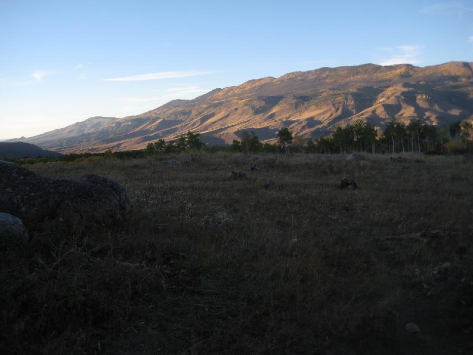 79. Part of Slate Creek Ranch 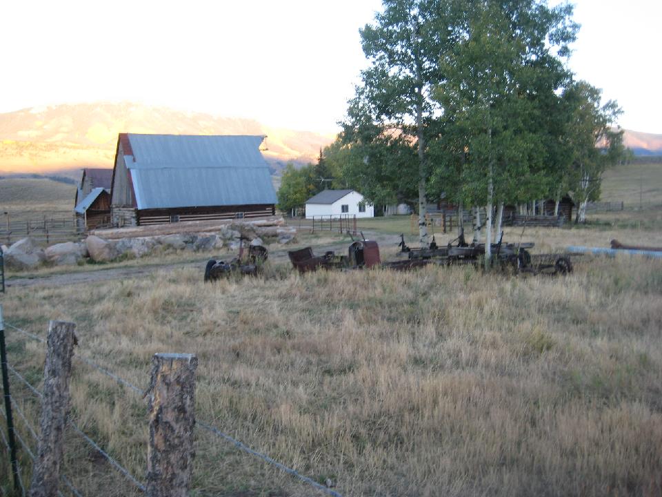 80. The next morning, back at the cabin 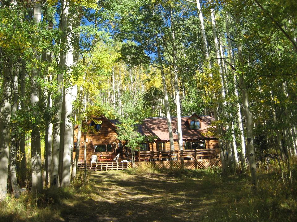 81. some scenes around the ranch... 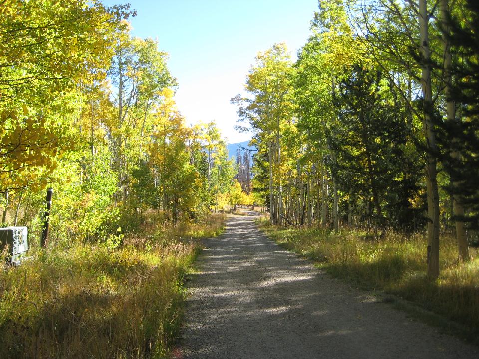 82. 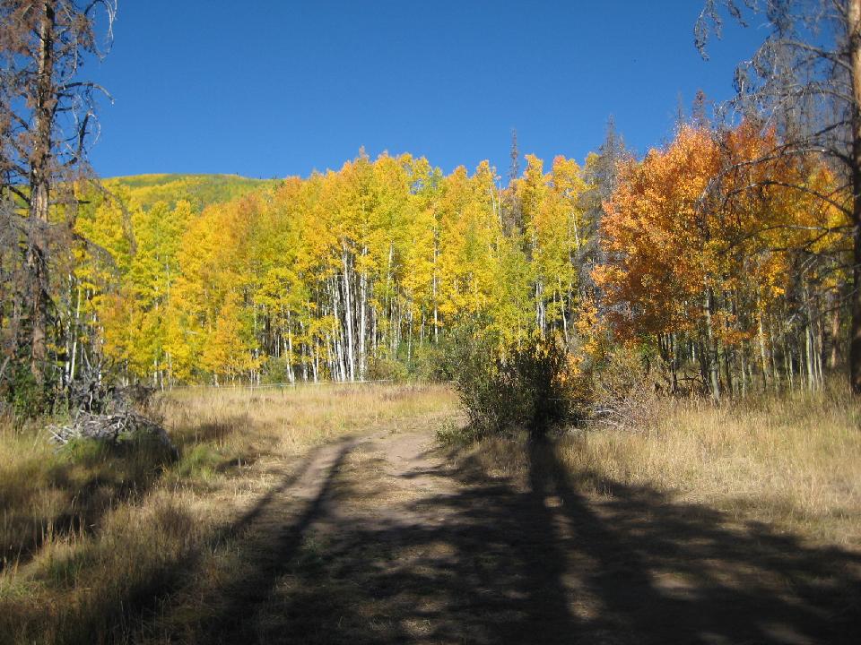 83.  84. Keller Mountain  85. La casita nestled in the aspen  |