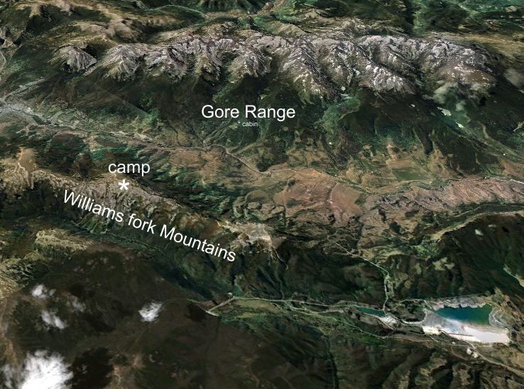
Bill wanted to get a photo of the Gore Range from the top of the Williams Fork Mountains, across the Blue River Valley from the cabin. He hiked up the back side of the Williams Fork (it is now a Wilderness Area) and camped at 12,300 feet on the summit ridge.
 2 (of 70) Detailed route. Two unnamed valleys. 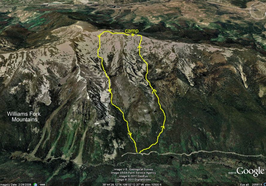 3 (of 70) 4 (of 70) Mt. Keller seen from Ute Pass, on the way to the trailhead. The cabin is out of view to the left of the image 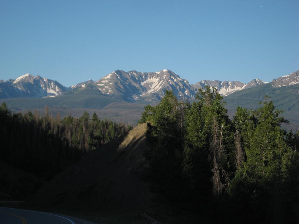 5 (of 70) Mt. Powell seen from Ute Pass - a destination later this summer 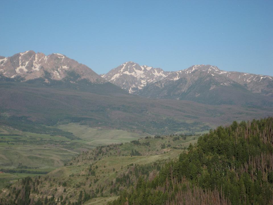 6 (of 70) The route was unmarked, steep, sweaty (2800 feet up, starting at 9600).There were only game trails. This was the best one, but didn’t last long. A hermit thrush serenaded for a long time. So did an olive-sided flycatcher, and meadow larks were singing in the high valleys 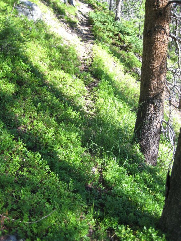 7 (of 70) First view of the ridge after 3 hours of uphill bushwhacking. 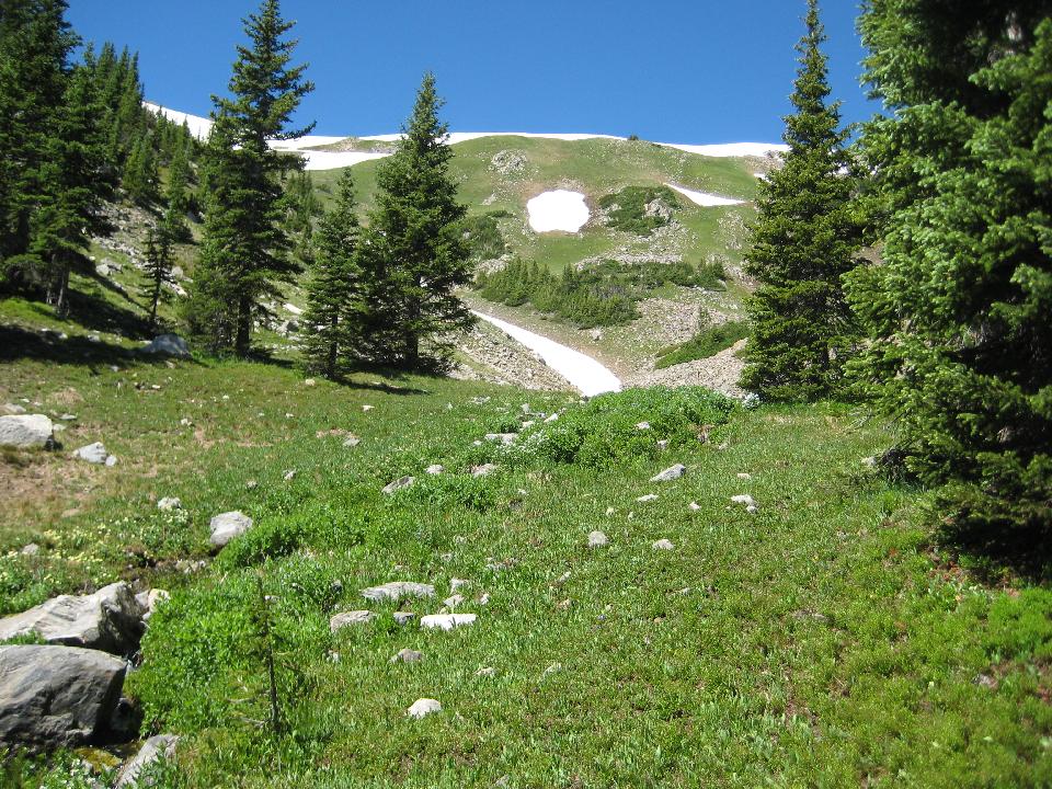 8 (of 70) I ate lunch at the trees near the middle, and reached the ridge to the left of the top snowfield. 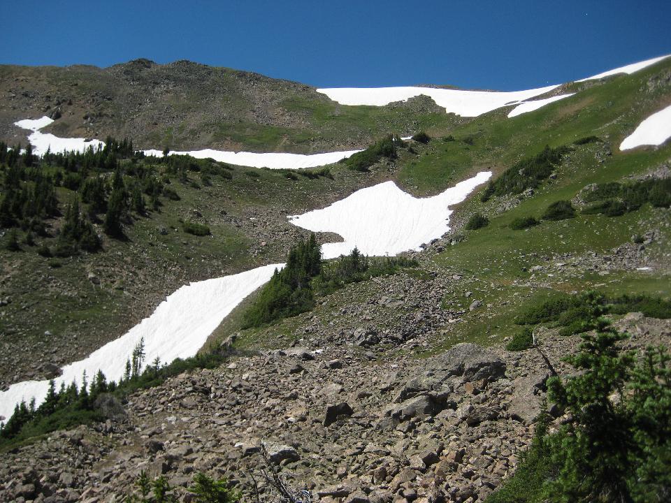 9 (of 70) looking back down the valley 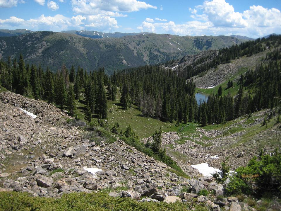 10 (of 70) a little higher... 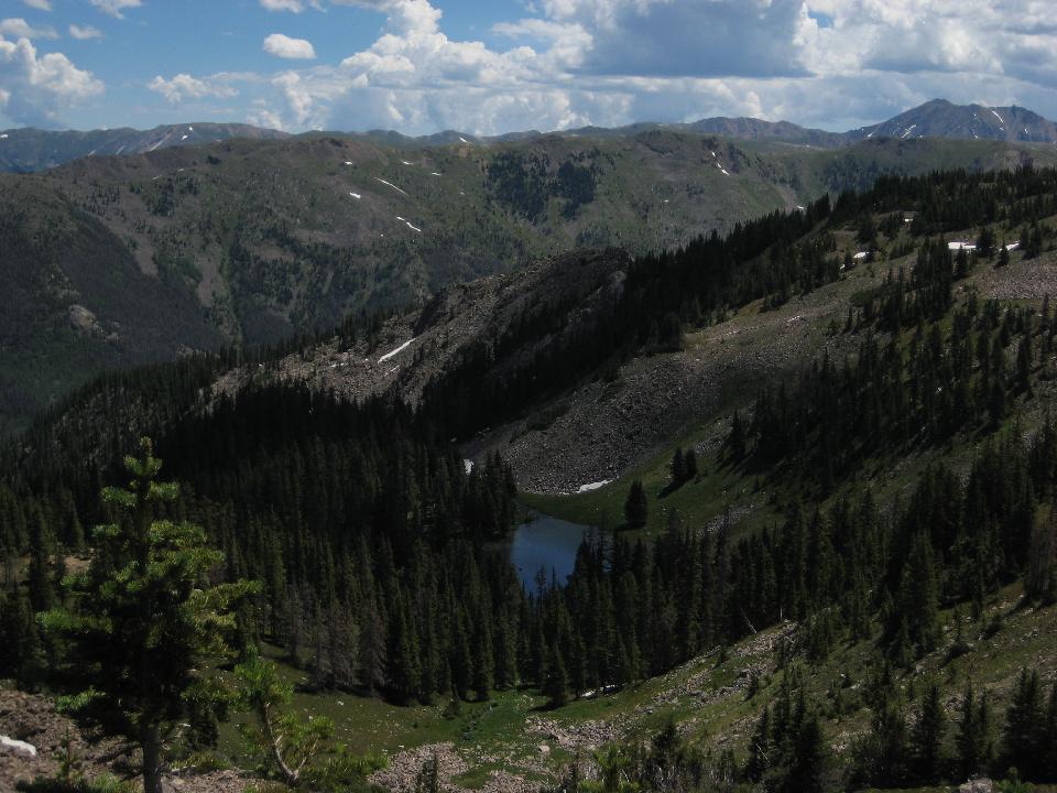 11 (of 70) 12 (of 70) ... higher still 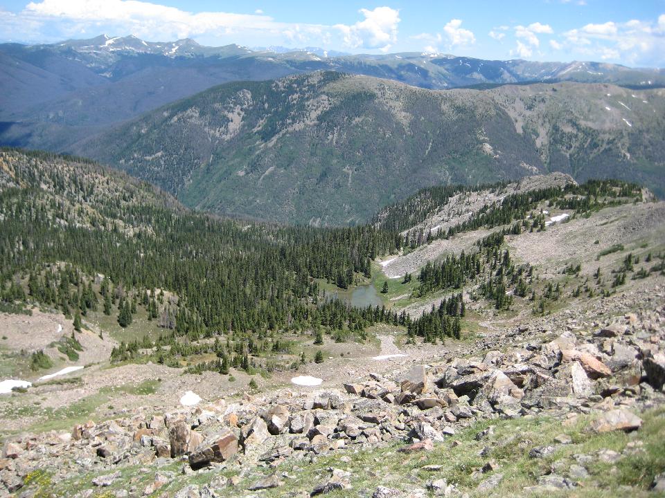 13 (of 70) alpine forget-me-nots 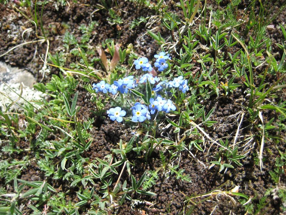 14 (of 70) 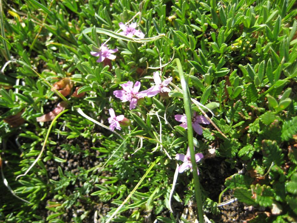 15 (of 70) 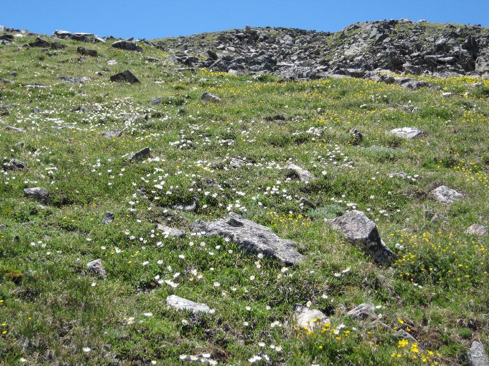 17 (of 70) nearing the ridge 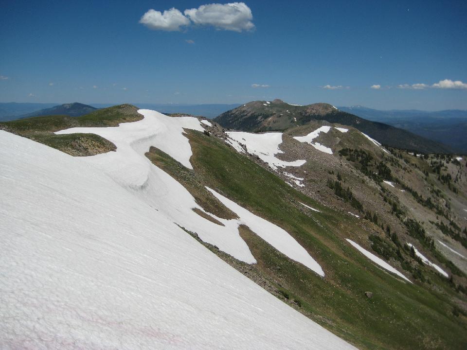 18 (of 70) I peeked over the ridge and got my first view of the Gore Range 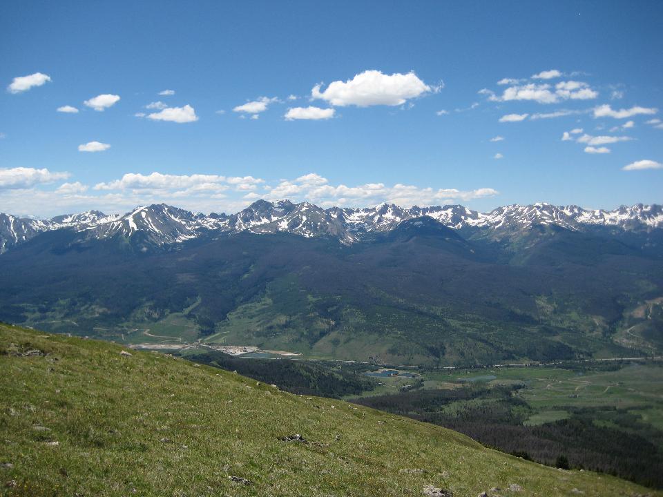 19 (of 70) panorama of the Gores (for a bigger (2.3MB) version, click here  20 (of 70) the cabin is located at the * 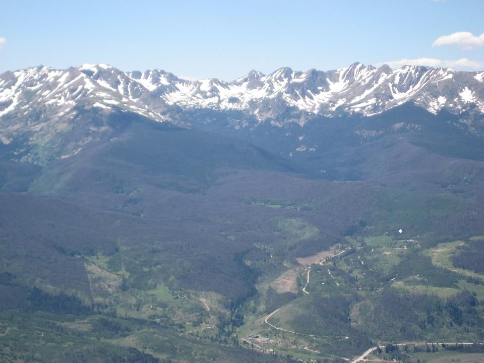 21 (of 70) 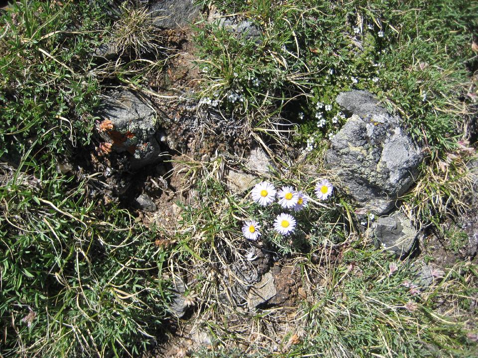 22 (of 70) 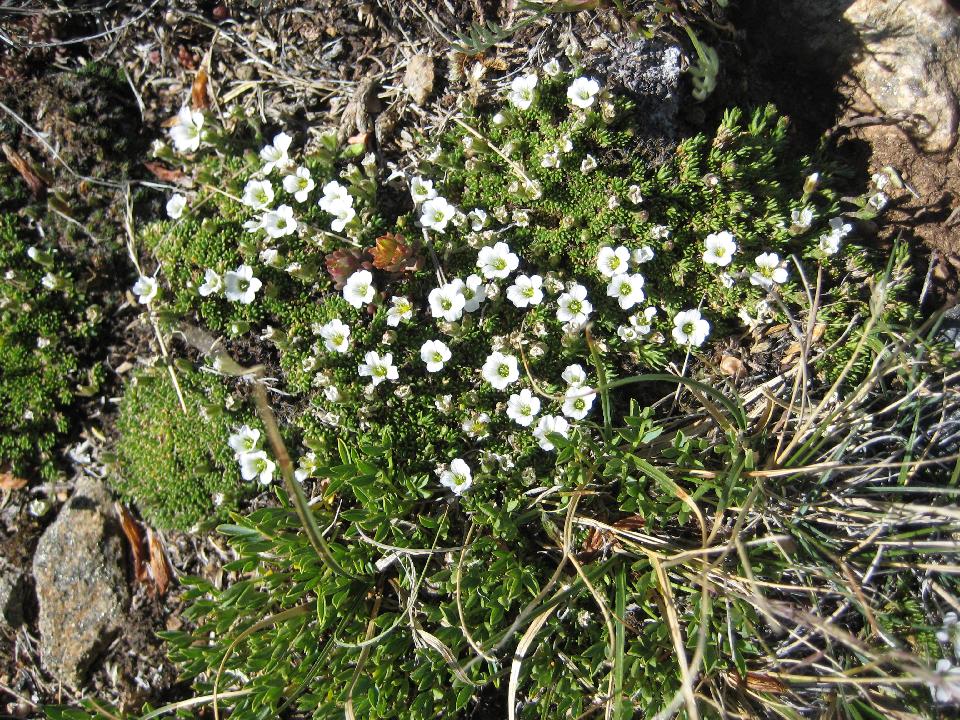 23 (of 70) 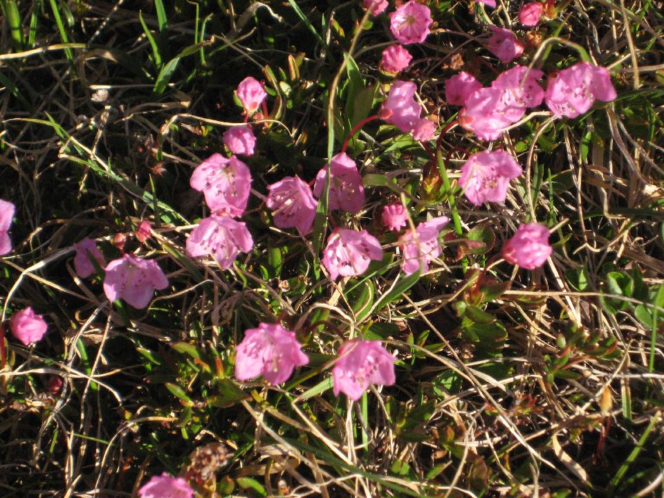 24 (of 70) 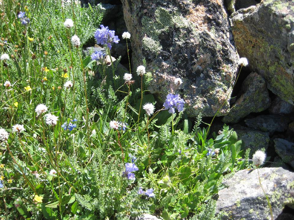 25 (of 70) sky pilot 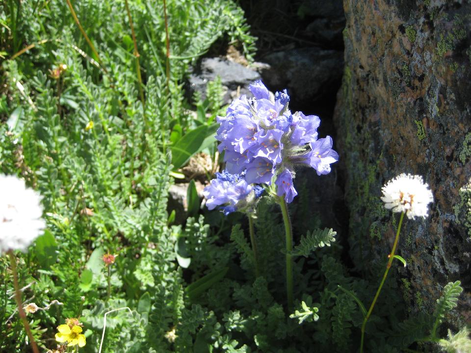 26 (of 70) views from the ridge during the afternoon 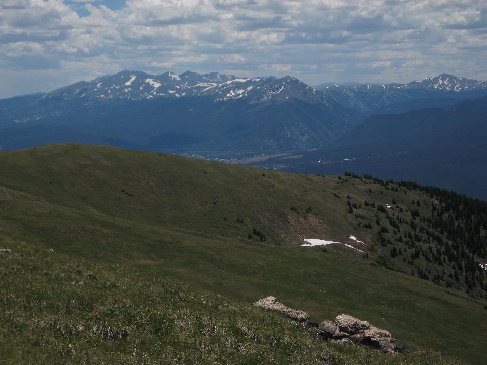 27 (of 70) 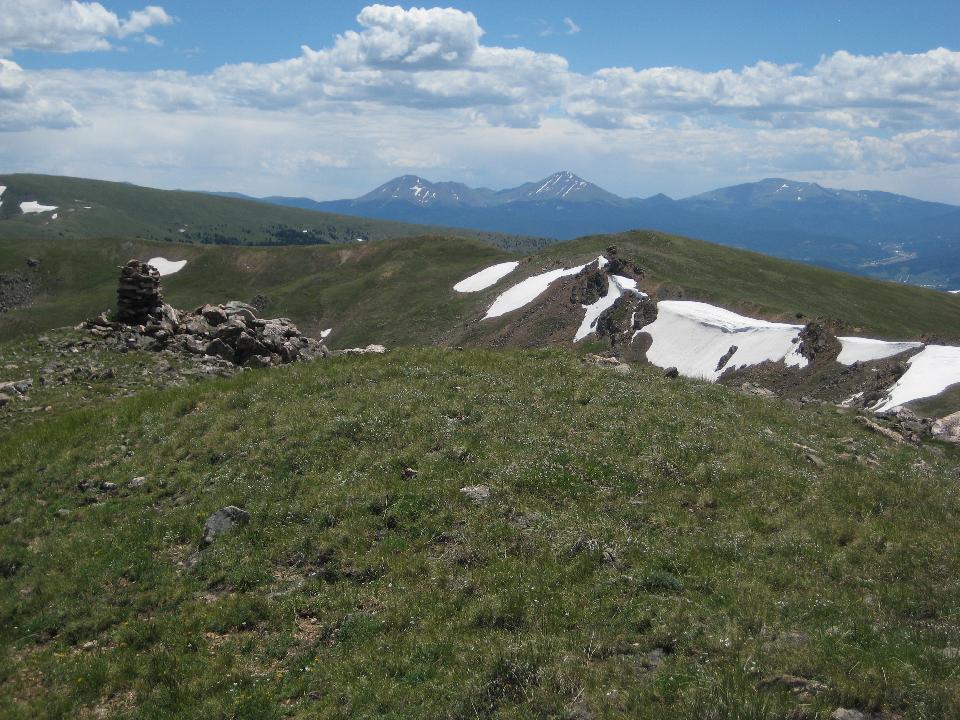 28 (of 70) the route up 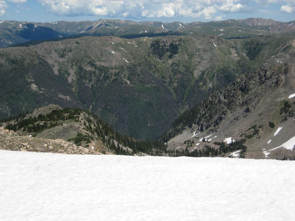 29 (of 70) Grays (right) and Torreys on the horizon 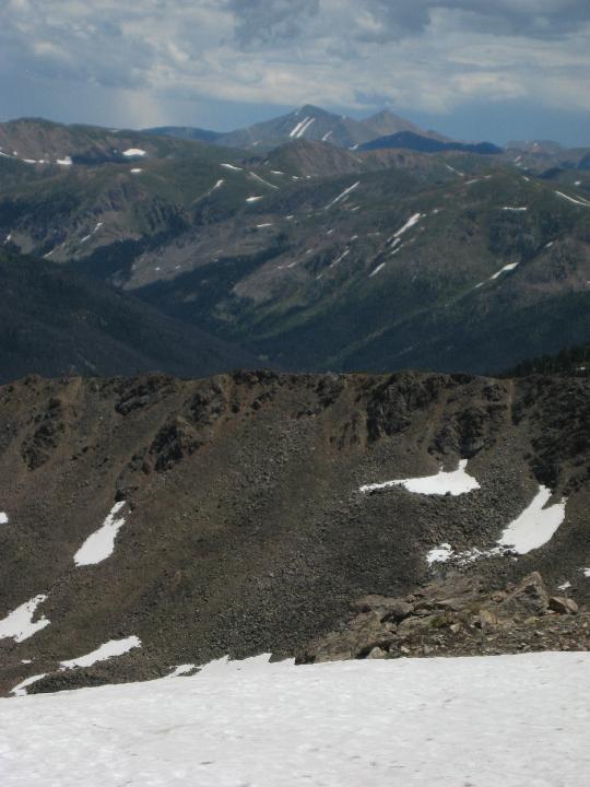 30 (of 70) 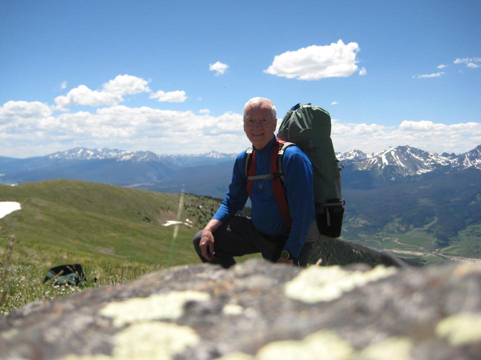 31 (of 70) cairn... 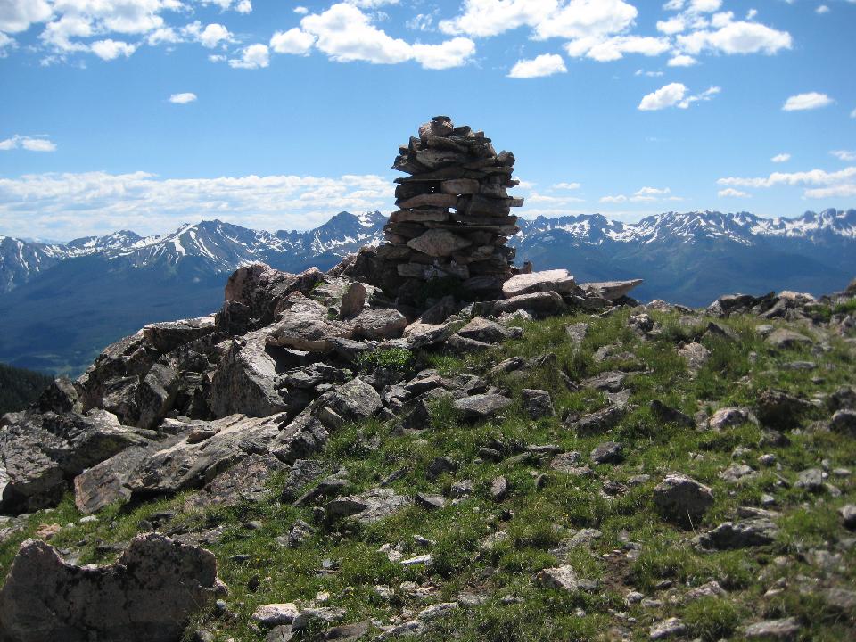 32 (of 70) ... with columbine 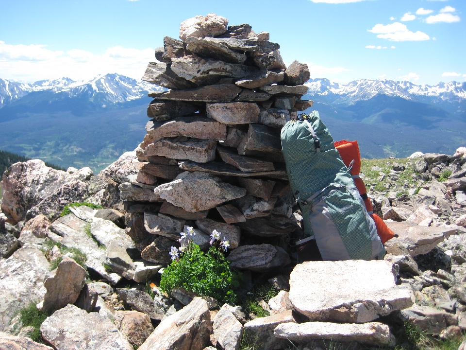 33 (of 70) tomorrow's route 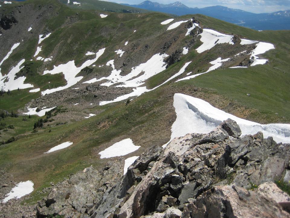 34 (of 70) 35 (of 70) 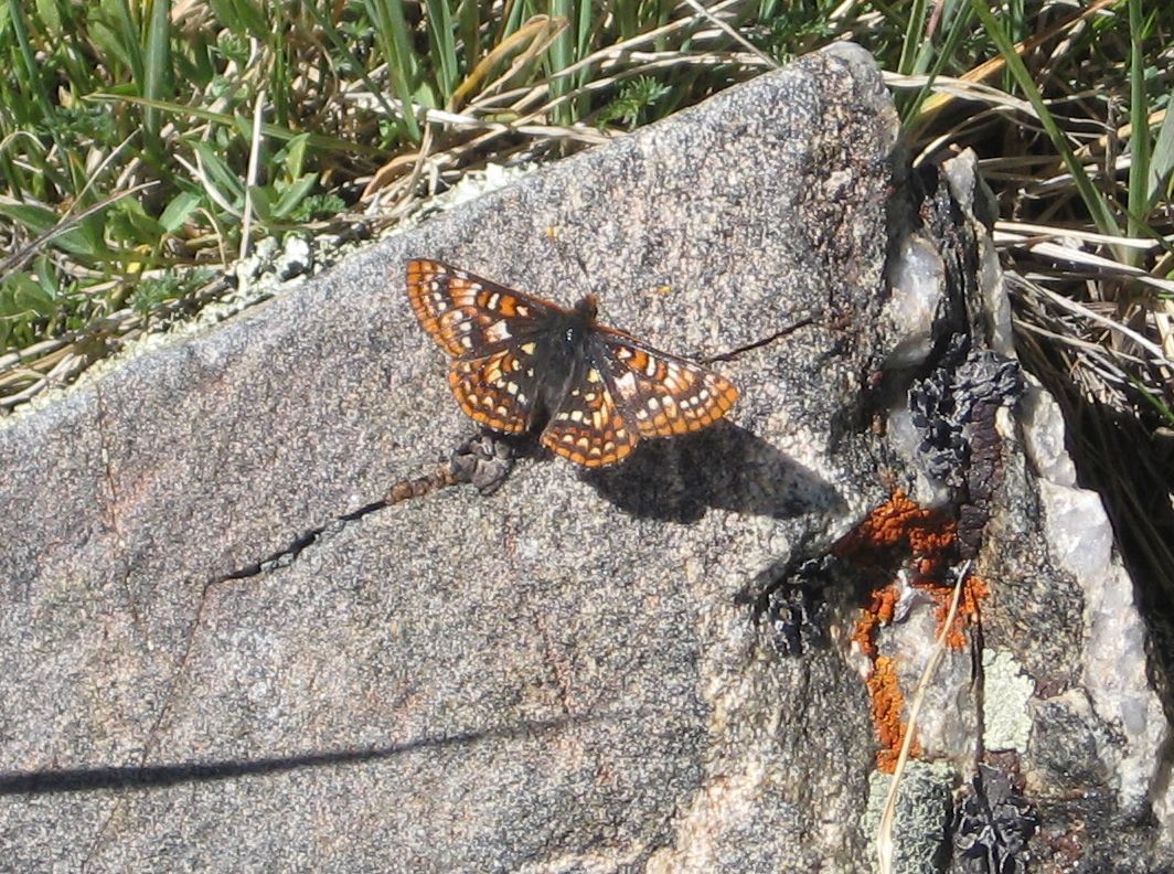 36 (of 70) 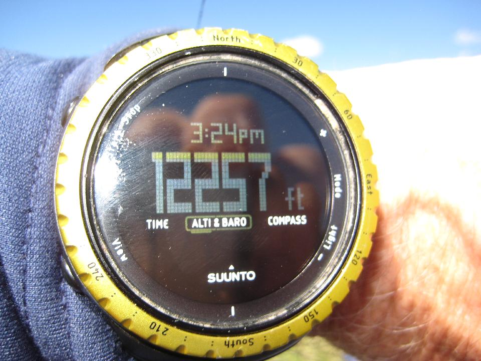 37 (of 70) Mounts Guyot and Baldy on the horizon 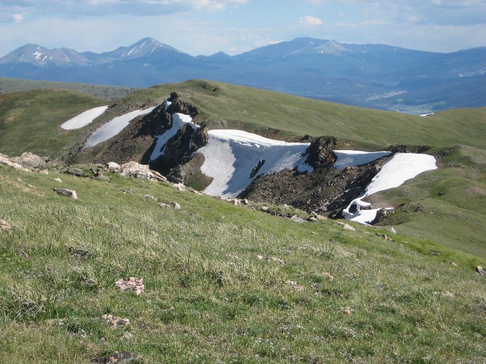 38 (of 70) vast stretches of pristine tundra 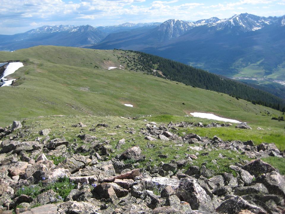 39 (of 70) looking north - that's Green Mountain Resevoir in the distance 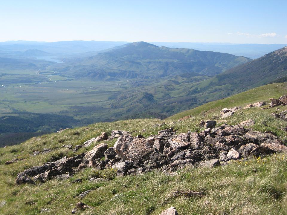 40 (of 70) Ute Peak to the north 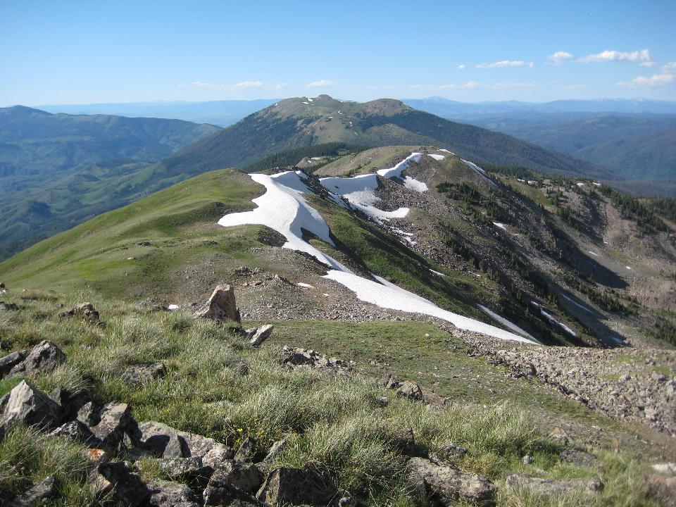 41 (of 70) campsite 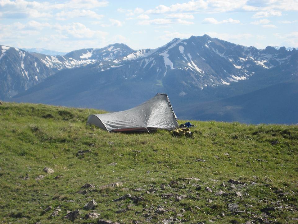 42 (of 70) Bierstadt sunrays over the cabin 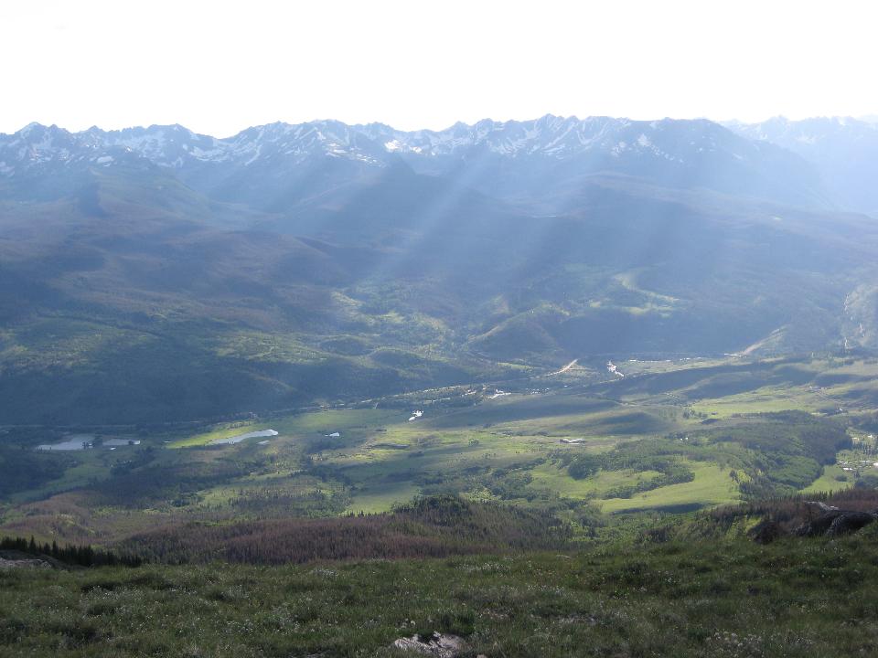 45 (of 70) looking east as the sun sets 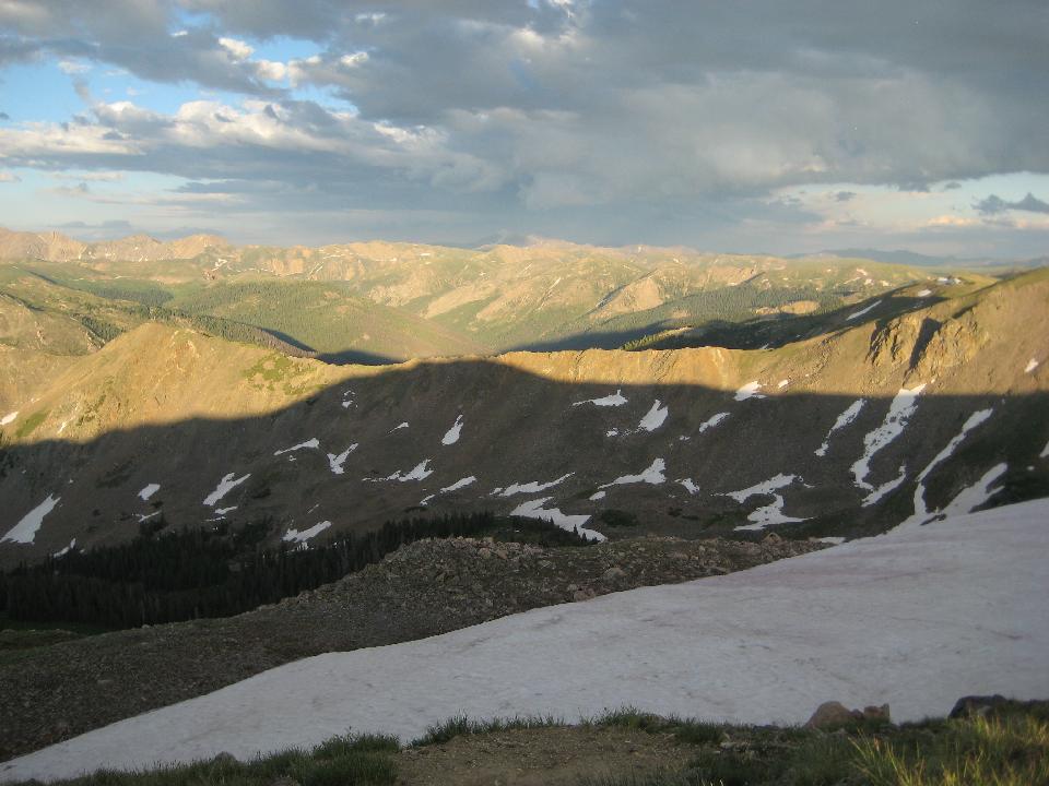 46 (of 70) 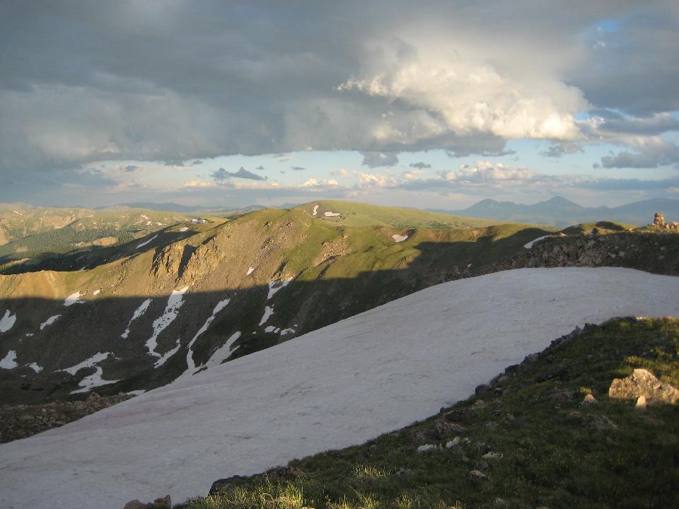 47 (of 70) low angle illumination 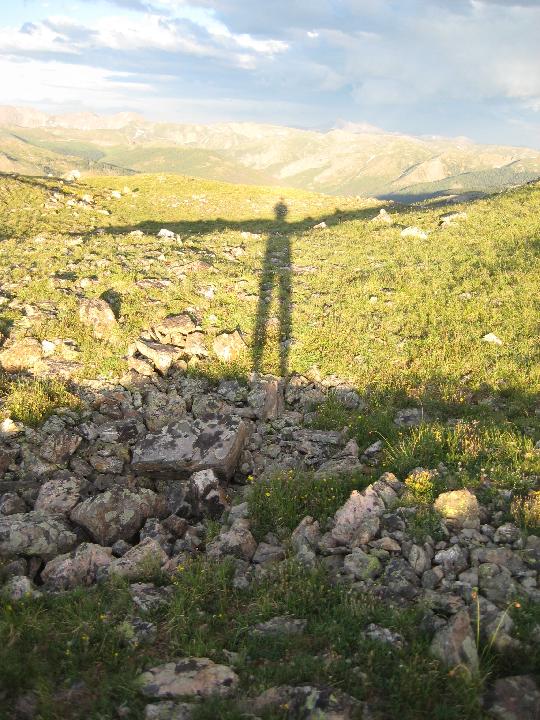 48 (of 70) As the sun disappeared, the colors were only just beginning 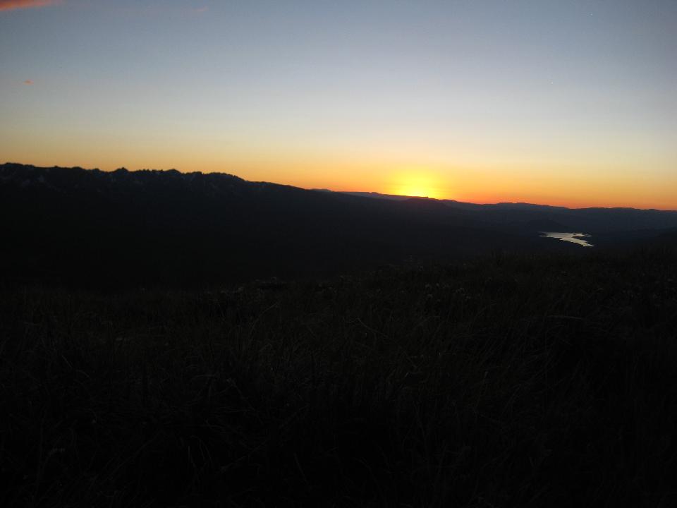 49 (of 70) 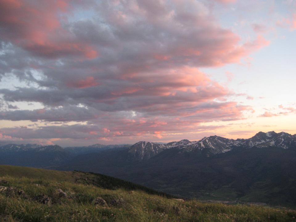 50 (of 70) looking north 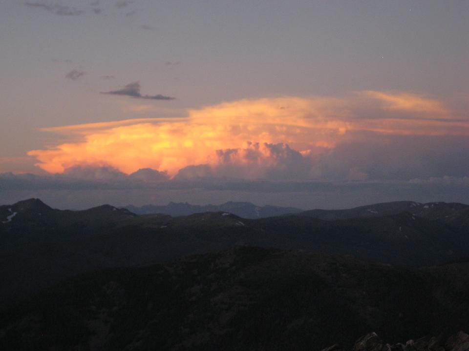 52 (of 70) last rays of daylight over the Gores 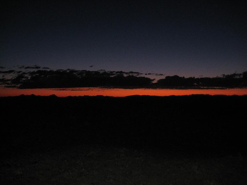 53 (of 70) SUNRISE! 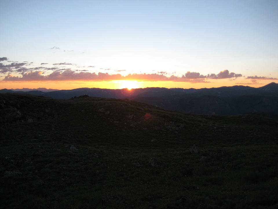 54 (of 70) 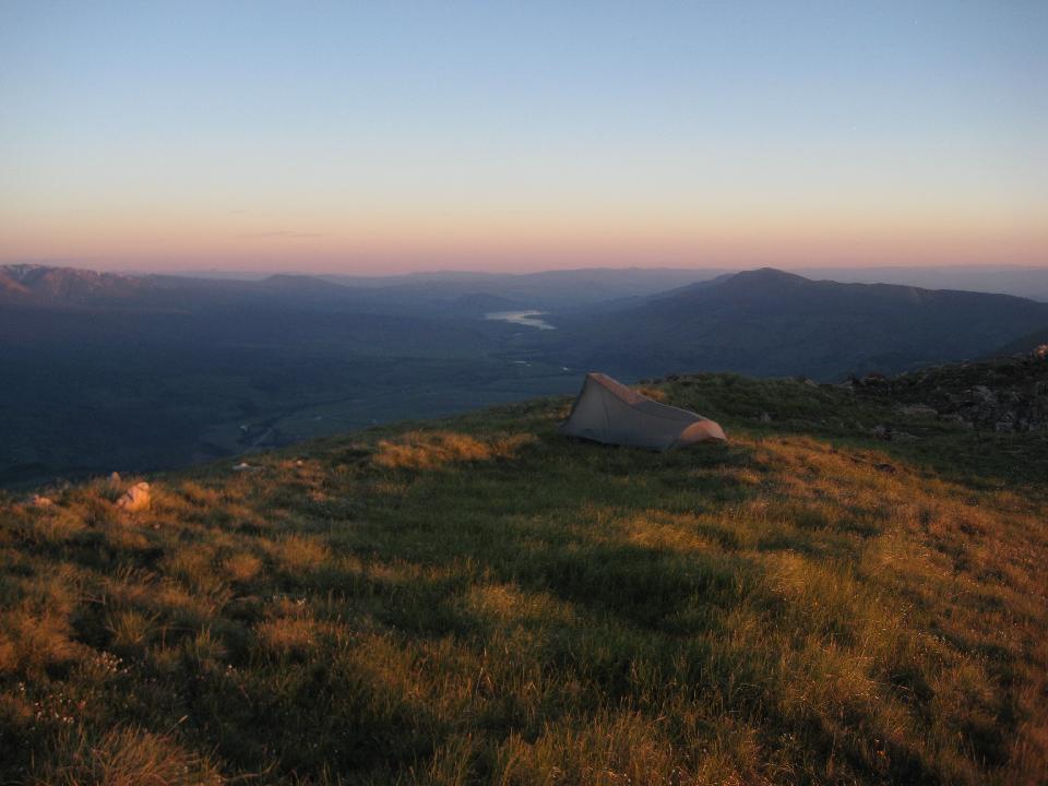 55 (of 70) dawn on the Gores 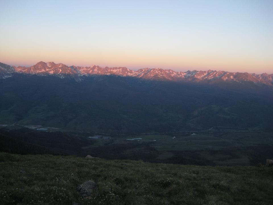 56 (of 70) looking south 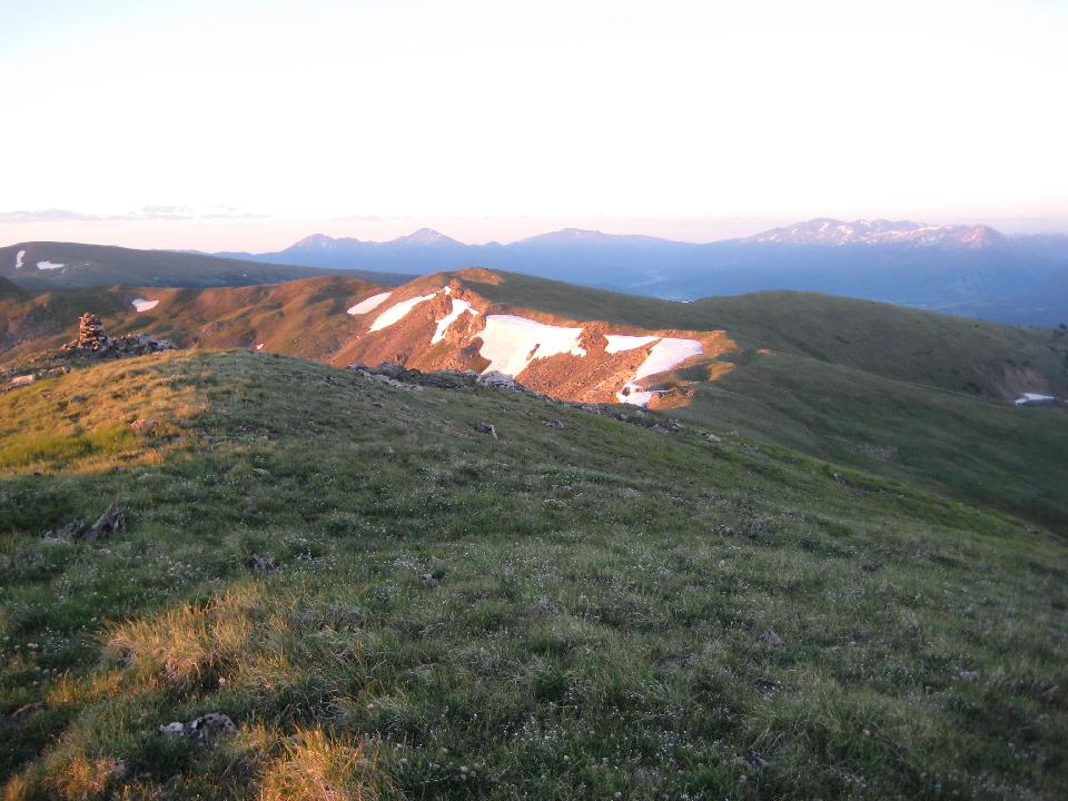 57 (of 70) 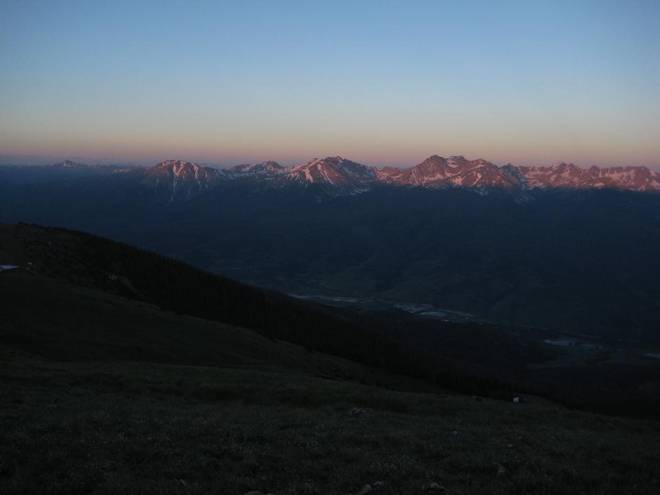 58 (of 70) looking north 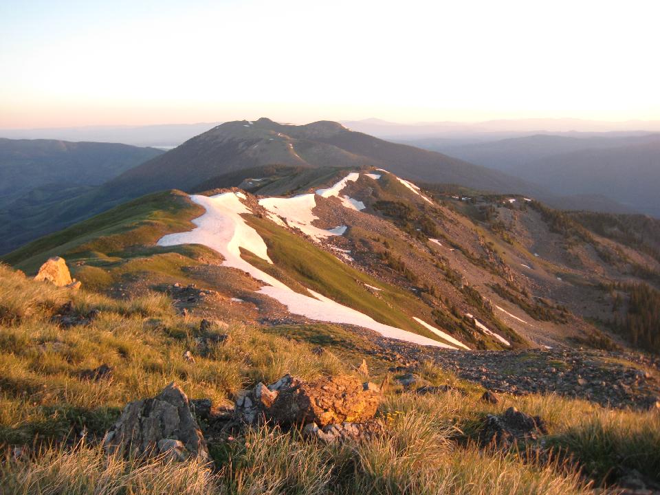 59 (of 70) panorama of the Gores at sunrise. For a bigger version (1.8MB), click here  . .
60 (of 70) 61 (of 70) Time to start down - last view of the magnificent Gores 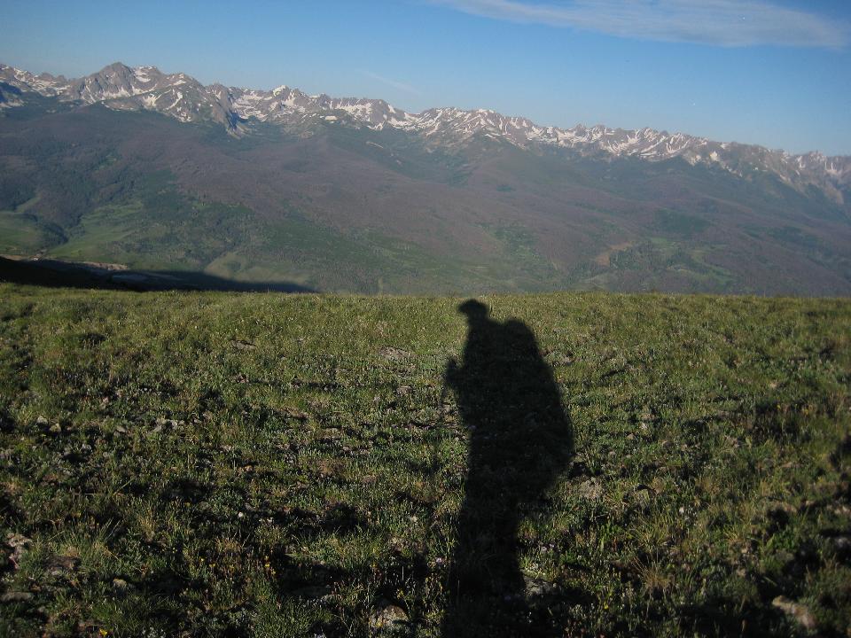 62 (of 70) 63 (of 70) Destination - a pristine valley with no sign of humans - no tracks, no trails, no fire circles... 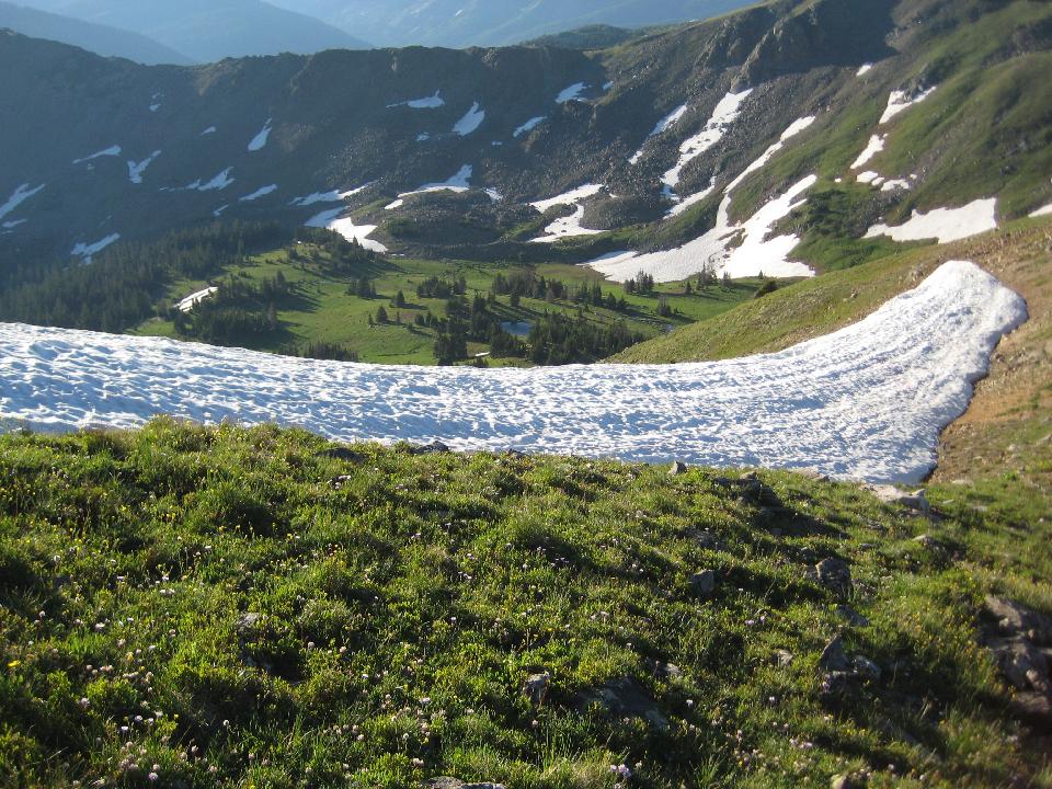 64 (of 70) looking back up 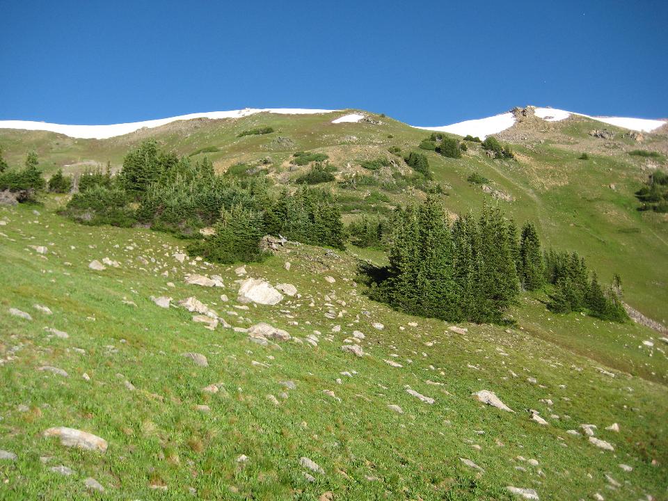 65 (of 70) campsite was at the high point 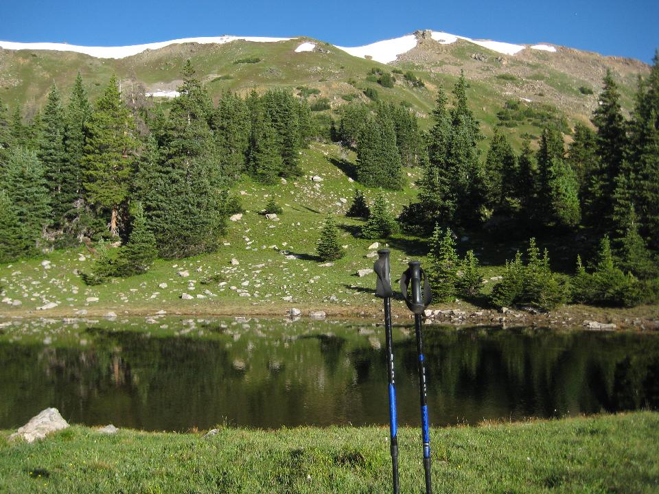 66 (of 70) last view of the ridge before plunging into trailless, steep, and dense forest 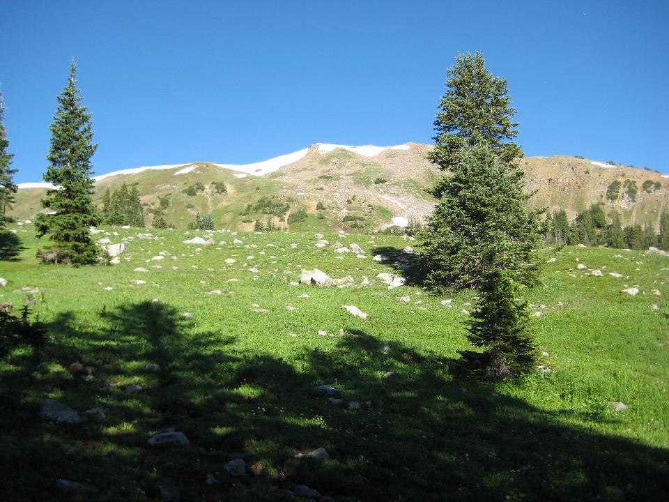 67 (of 70) primrose 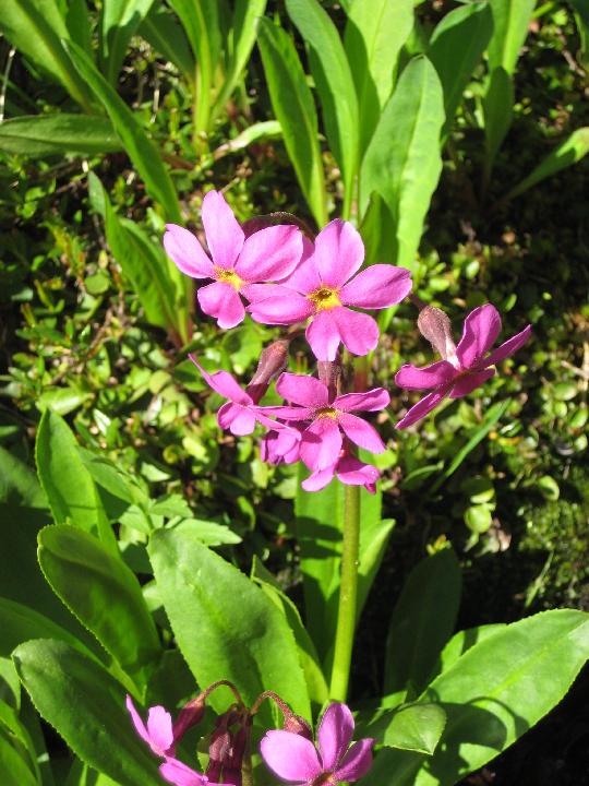 68 (of 70) Indian paintbrush  69 (of 70) Falls near the end of the descent  |