|
Bill hiked from the Brush Creek trailhead up Black Creek, over Kneeknocker Pass, and down to Piney Lake (about 12 miles). It was slow going, uphill with pack, no trail, making about 0.5 miles per hour. It was the most remote, rugged country Bill had ever encountered.
66 images 1. This shows the entire route. The cabin is just below and to the right of the image. 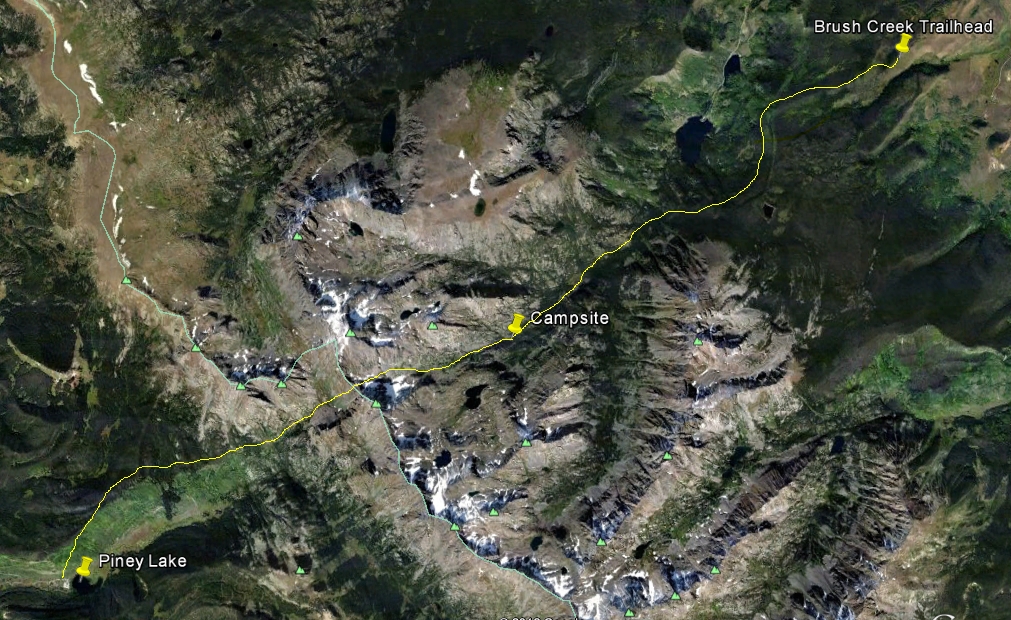 1a. View up Black Creek to Kneeknocker Pass
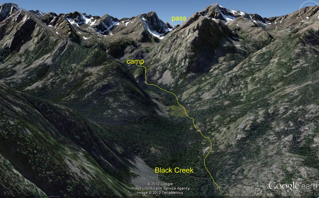 1b. The other side of the pass (View up Piney Creek to Kneeknocker Pass)
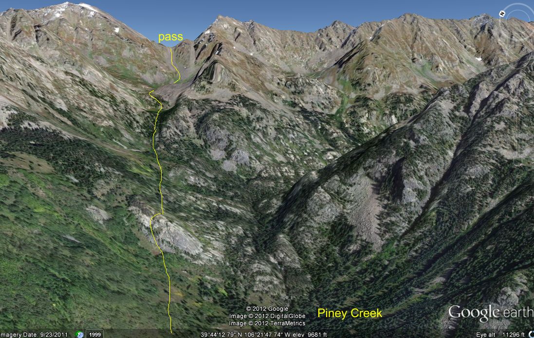
2. Leaving the ranch at sunrise 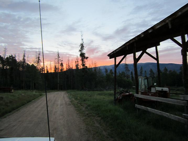 3. Keller Mountain from the ranch 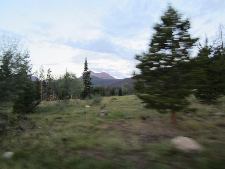 4. heading north along Route 9 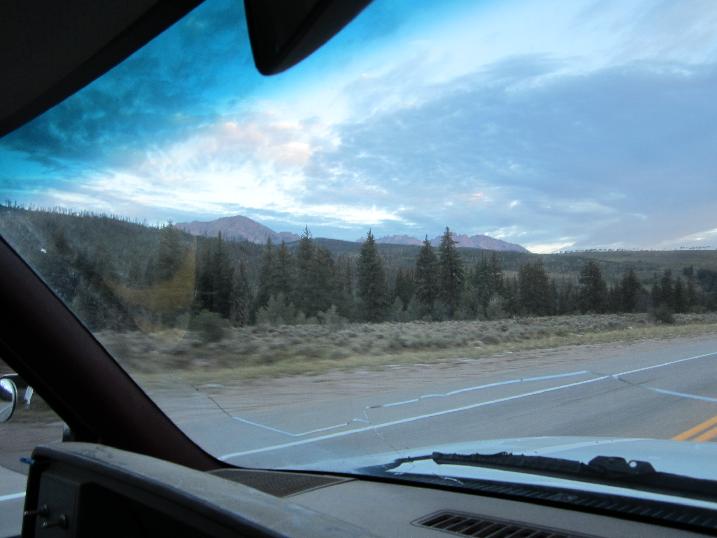 5. 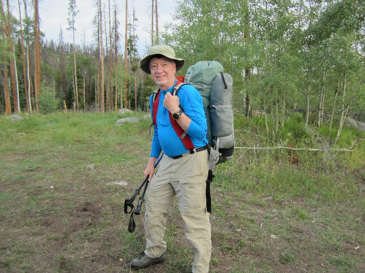 6. 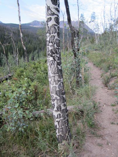 7. 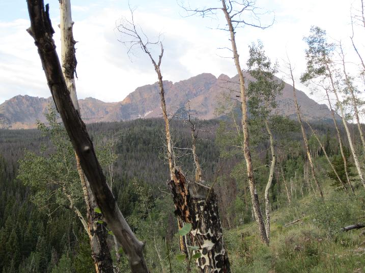 8. looking back to the Blue River valley 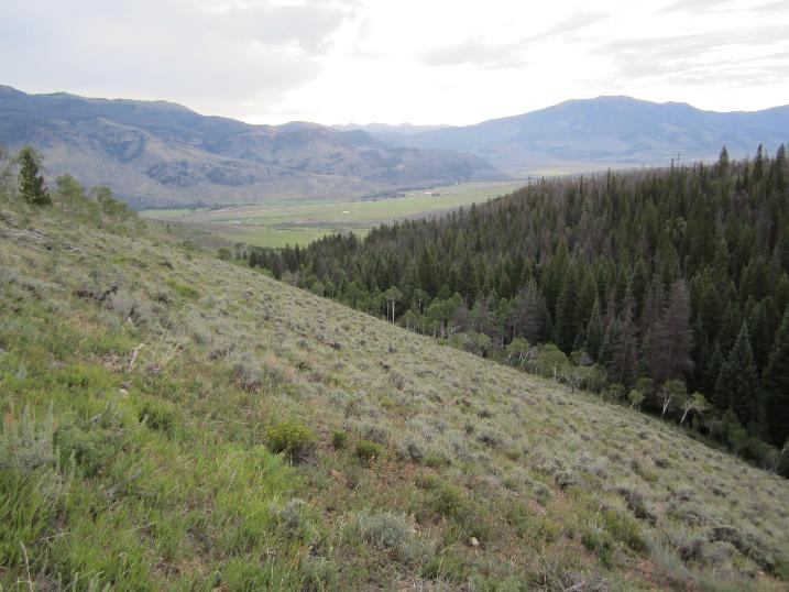 9.  10. blowdown expertly cleared from the Gore Range Trail by Friends of Eagles Nest - THANKS!  11. the fork at the Black Creek Trail. 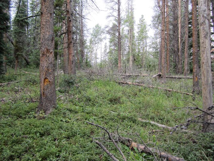 12. the Black Creek Trail  13. Black Lake  14. bridge - probably built in the 1930s, when the CCC built the Gore Range Trail. It is a mystery to me why the trail does not appear on any topo map  15. 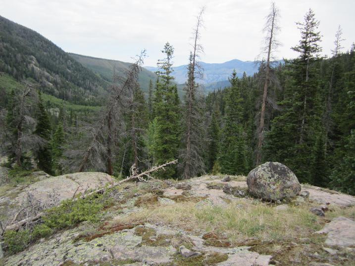 16. I left the trail (which continues up the south fork) and went down to Black Creek 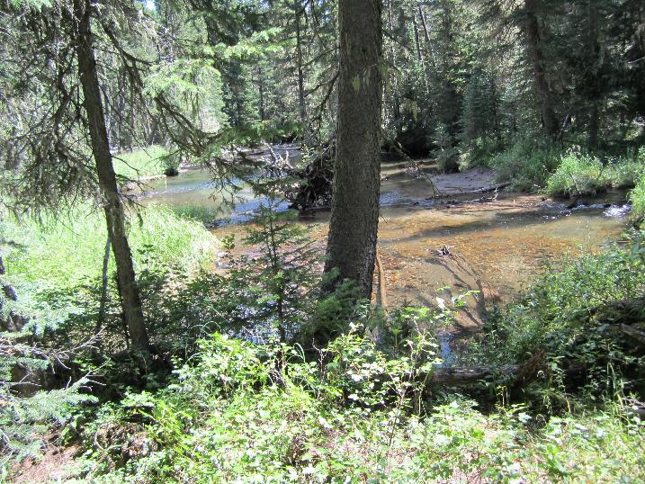 17. endless woods, deadfalls, cliffs, and game trails that peter out  18. 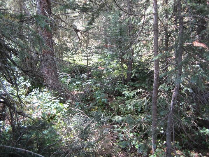 19. 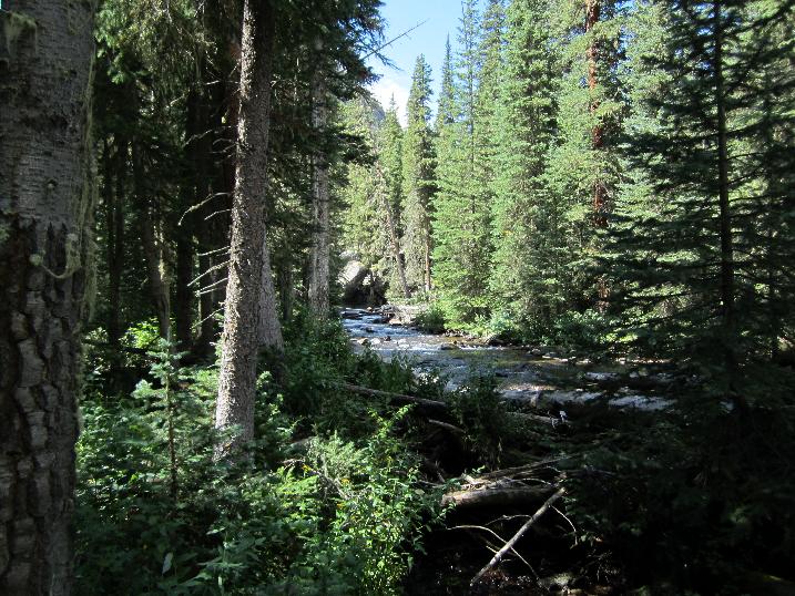 20. looking upstream 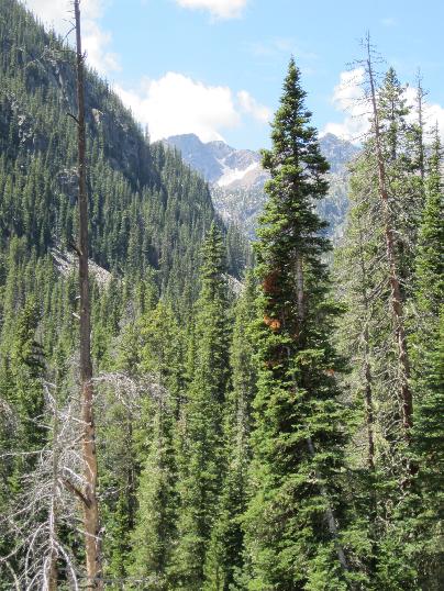 21.  22. looking up from the boggy meadow. You can see the falls coming out of Bubble Lake (left of center)  23.  25. Bubble Lake Falls 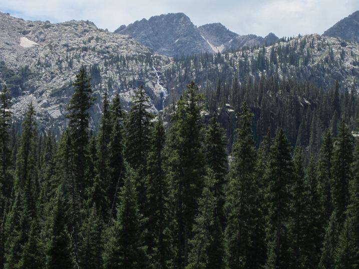 26. Black Creek  27. a roomy cave, high up a cliff - great hibernation site?  28. Campsite  29. Next morning - I spent a lot of time with map, compass and altimeter trying to figure out the best route up that face 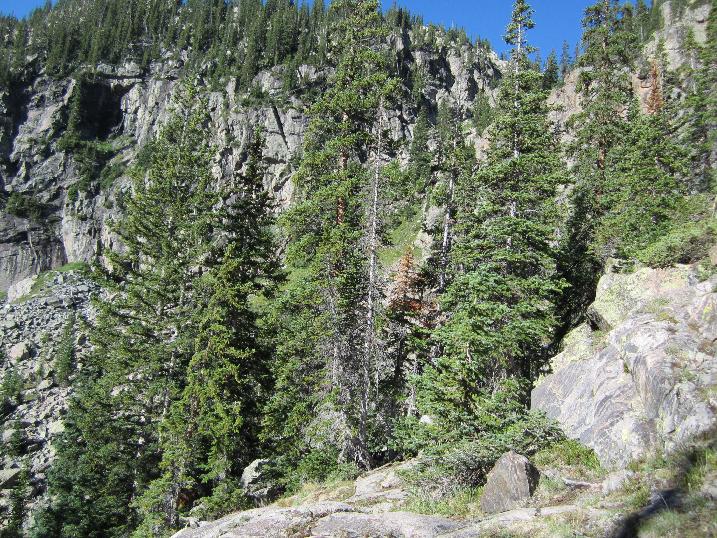 30. plenty of gentians - both star and fringed 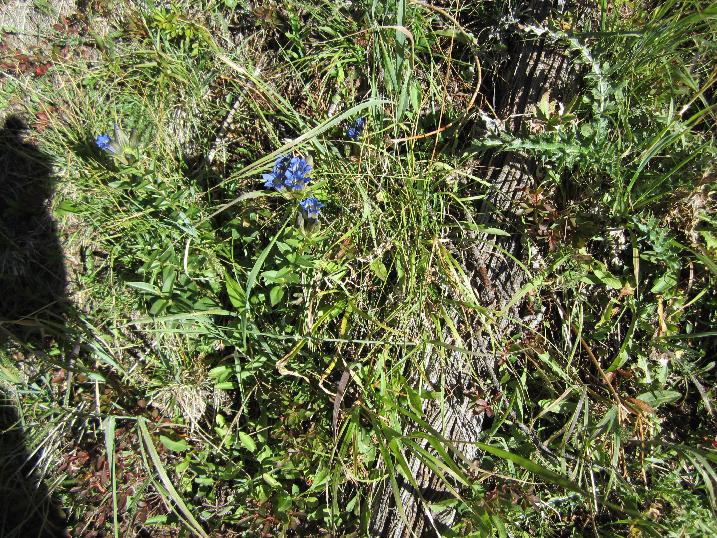 31. 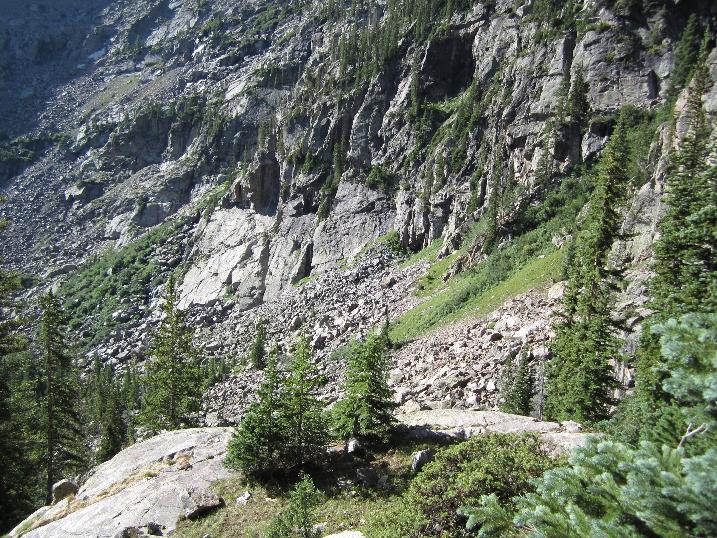 32. glacial striae on rocks 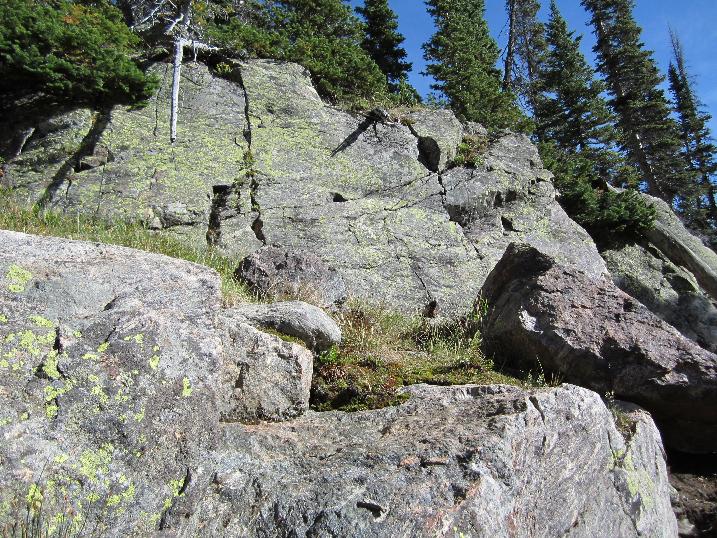 33. Kneeknocker Pass - my destination - near the middle 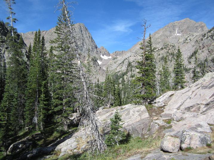 34. 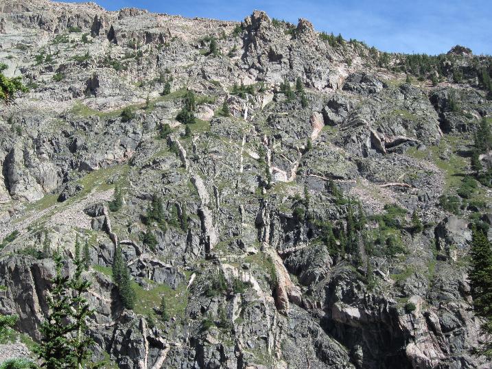 35. pure quartz, set there by Nature 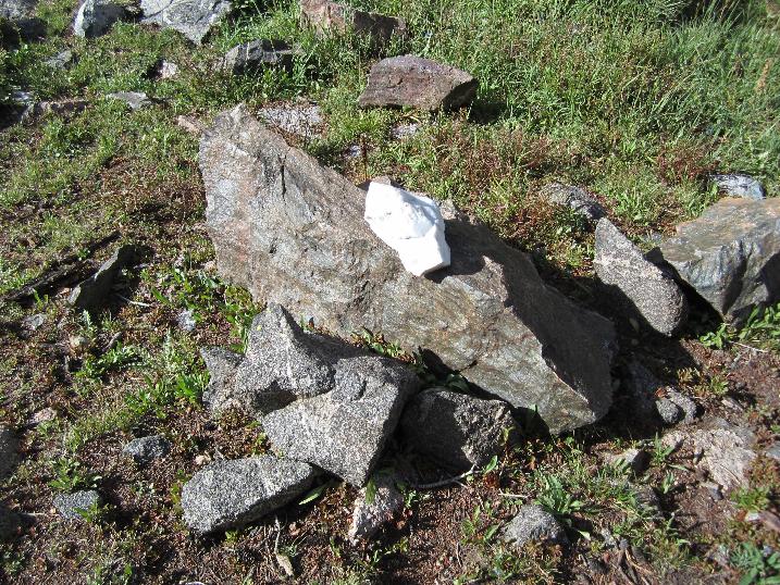 37. white quartz outcropping 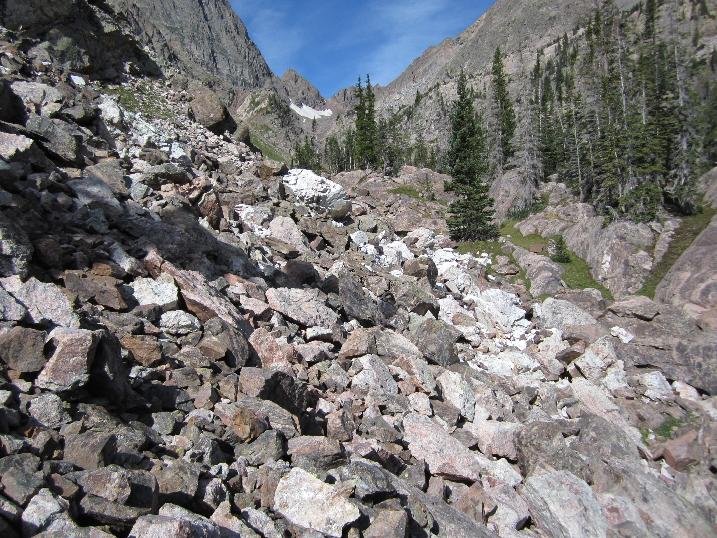 39. quartz 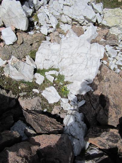 40. trails like this short stretch were heaven-sent 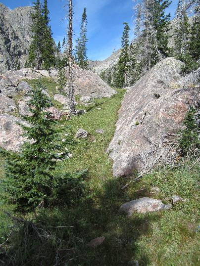 41. amanita muscaria were quite common 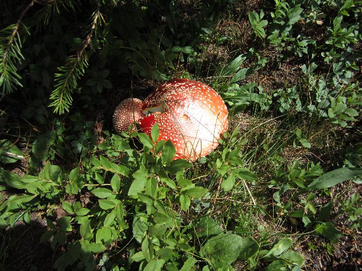 42. 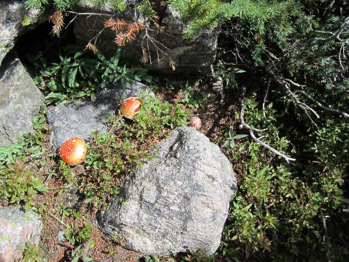 43. lookng back down Black Creek 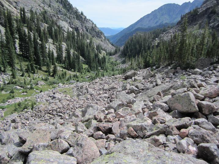 44. 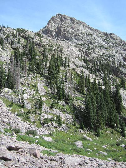 45.  46.  47. here come the goats - I counted 14 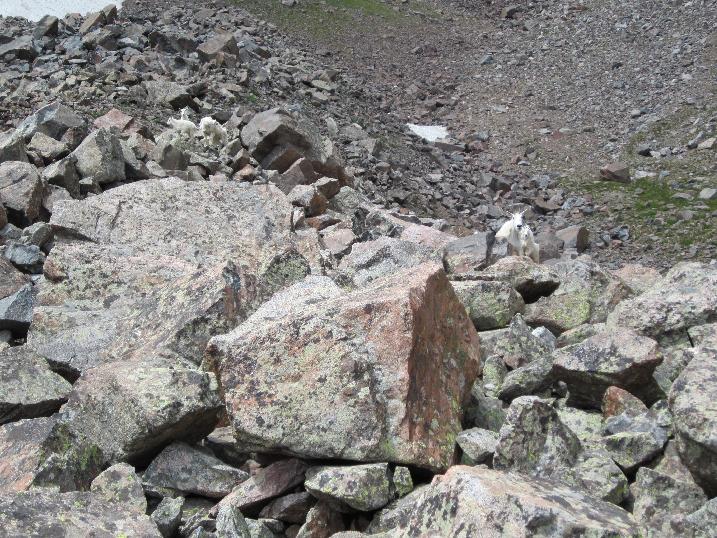 48. that's Kneeknocker Pass in the background. I could have saved a pound had I left my crampons at home - there was no snow on my route  49.  50.  51.  52. 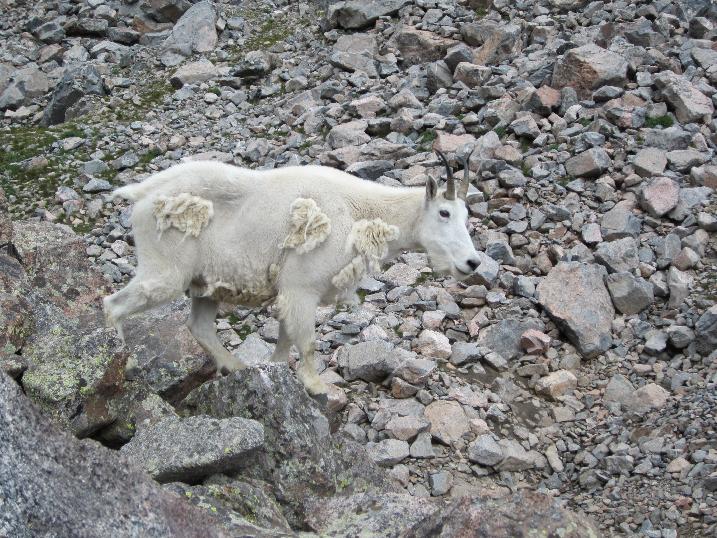 53.  54.  55.  56. the yellow dots are monkey flowers 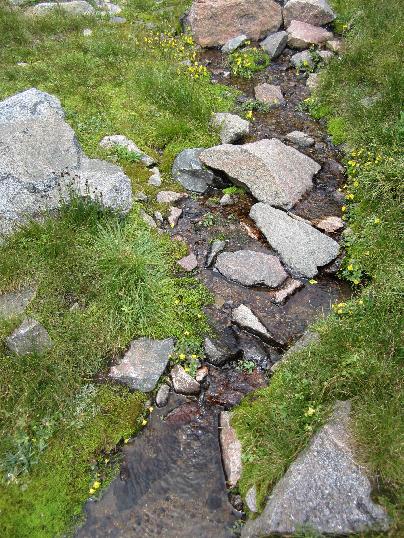 57. monkey flowers 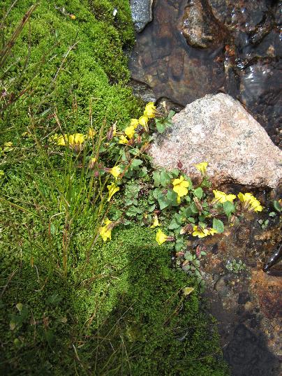 58. 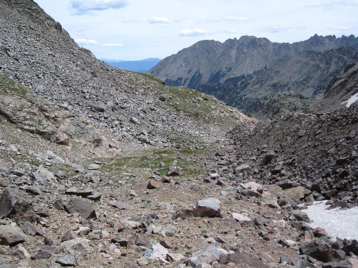 59. Peak C 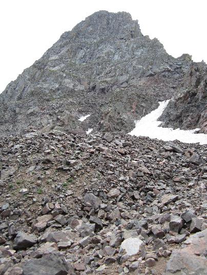 60. first peek over Kneeknocker Pass, down to Piney Lake 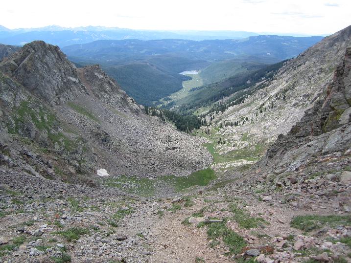 61. Looking back down Black Creek from Kneeknocker 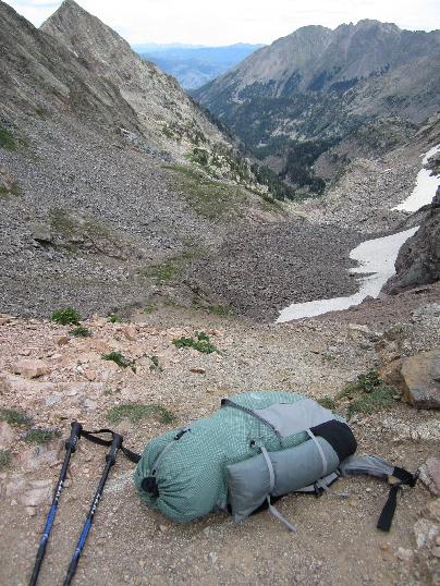 62. Parnassas butterfly, pinned to the ground at the pass by strong winds  63. looking back up to Kneeknocker Pass - I have had my fill of it for a while, having been over it in both directions the last few summers  64. Looking south, up the main branch of Piney Creek 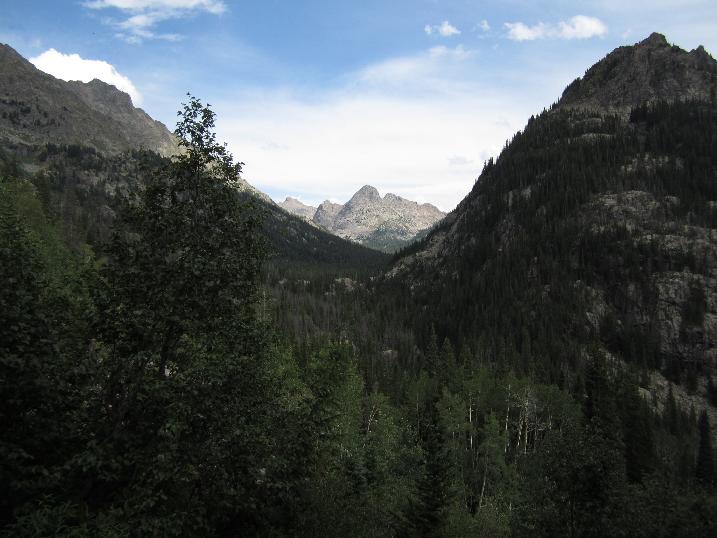 65. 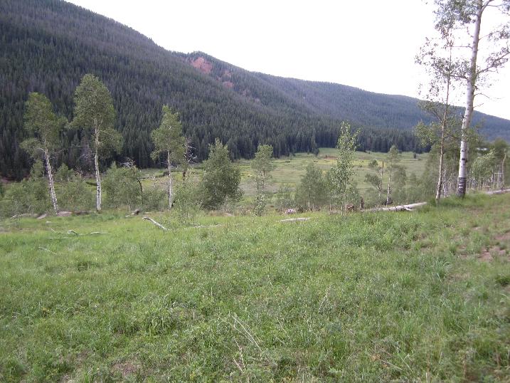 66. looking back up to Kneeknocker  |